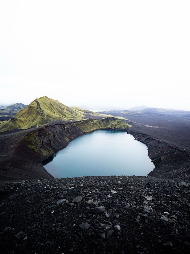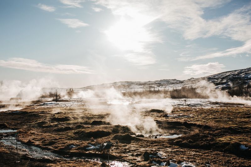
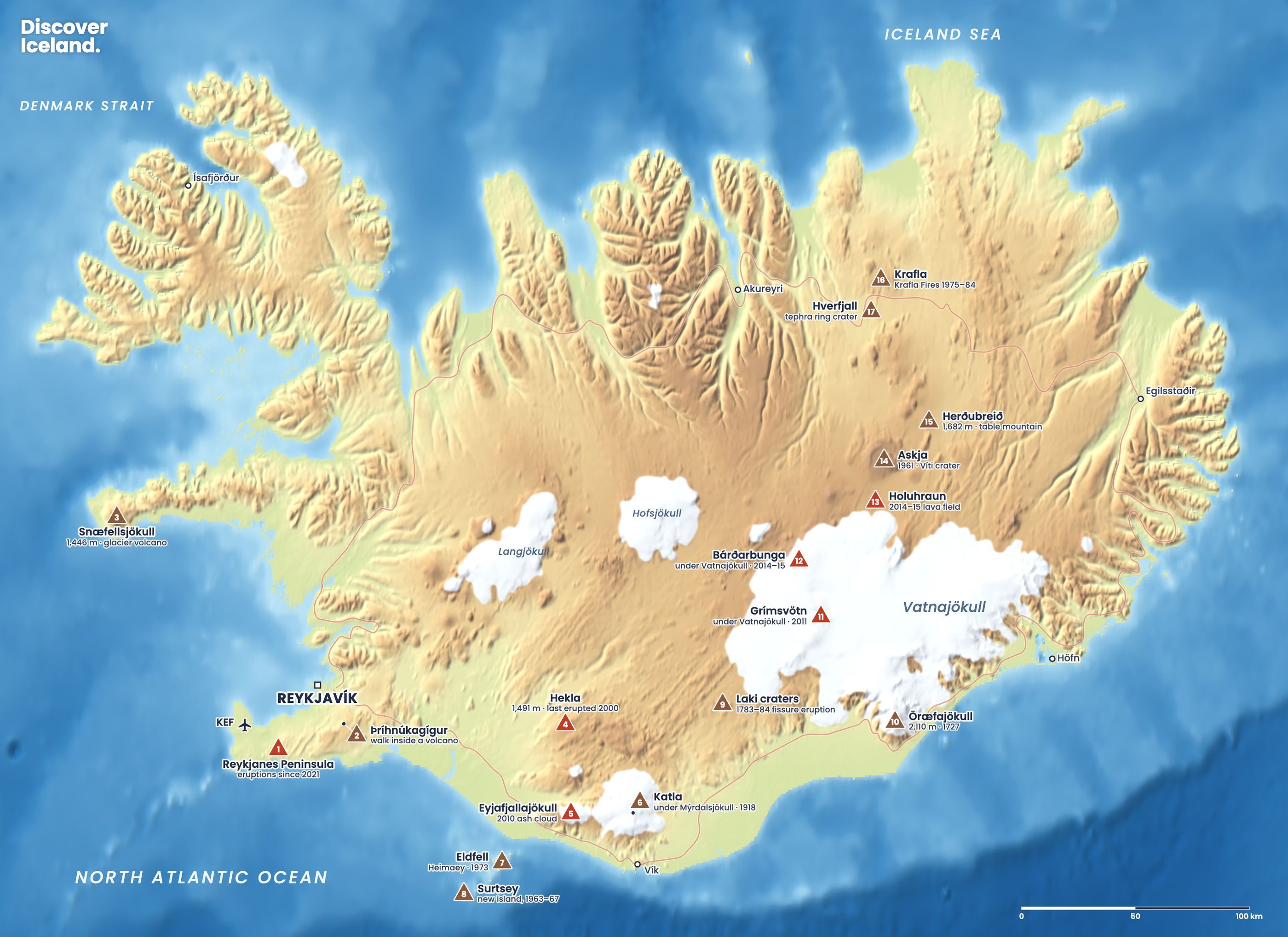
Eyjafjallajökull, Hekla and Katla are Iceland's three most famous volcanoes, and all three stand within sight of the south coast. Eyjafjallajökull is the glacier volcano whose ash closed Europe's skies in April 2010. Hekla, the "gateway to hell" of medieval legend, last erupted in 2000. Katla hides under the Mýrdalsjökull ice cap and has not had a major eruption since 1918. Here is what each one is, how to say the names and how you can see them.
How do Eyjafjallajökull, Hekla and Katla compare?
| Eyjafjallajökull | Hekla | Katla | |
|---|---|---|---|
| Height | 1,666 m | 1,491 m | Under Mýrdalsjökull (ice up to about 1,450–1,490 m) |
| Type | Ice-capped stratovolcano | Ridge volcano on a 40 km volcanic ridge | Subglacial volcano with a caldera about 10 km across |
| Last eruption | 2010 | 26 Feb – 8 Mar 2000 | 1918 (major eruption) |
| Known for | The 2010 ash cloud | Medieval "gateway to hell" | Huge glacial floods |
| How to see it | From the Ring Road at Seljalandsfoss | From the south; summer hike | Glacier walks on Sólheimajökull |
How do you pronounce Eyjafjallajökull, and what does it mean?
Eyjafjallajökull is roughly "AY-yah-fyah-dlah-YOH-kuh-dl". The double "ll" in Icelandic is not an English "l", which is what trips most people up. Say it in three parts: Eyja (islands), fjalla (mountains), jökull (glacier).
So the name means "the glacier of the island mountains". The islands are the Westman Islands, which you can see from the foot of the volcano, and the mountains are the Eyjafjöll range below the ice.
What happened when Eyjafjallajökull erupted in 2010?
The eruption came in two phases. On 20 March 2010 a fissure opened on Fimmvörðuháls, the pass between Eyjafjallajökull and Mýrdalsjökull, with fountains of lava and little ash. About 500 farmers and their families were evacuated overnight and allowed home two days later.
On 14 April the eruption moved under the summit ice. Meltwater mixed with magma and blasted out fine ash, which rose in a plume about 8–9 km high and drifted over Europe. Most European airspace closed from 15 to 20 April, about 20 countries shut their skies to commercial jets and around 10 million travellers were affected. The eruption ejected about 250 million m³ of tephra and was declared over in October 2010.
The two phases were very different. The first, on Fimmvörðuháls, sent ash no higher than about 4 km, and crowds walked up to watch the lava. The second, under the ice, was the one that mattered to the rest of the world. Before 2010, Eyjafjallajökull's most recent major eruptions were in 920, 1612 and 1821–23. You can walk across the 2010 lava on the Fimmvörðuháls hike, between Skógar and Þórsmörk.
What is Katla, and is it overdue?
Katla is one of Iceland's most powerful volcanoes, buried under the Mýrdalsjökull ice cap above Vík. Its caldera is about 10 km across and lies beneath ice that averages about 230 m thick. Katla usually erupts every 40 to 80 years, and 16 eruptions have been documented since 930.
Its last major eruption began on 12 October 1918. Within minutes a glacial flood, or jökulhlaup, poured across the sands to the east with a peak flow of about 300,000 m³ per second. It pushed the coastline temporarily about 4 km out to sea. Three farms near Álftaver were abandoned, and the local population fell by almost a quarter within two years. Most of Katla's big floods since 874, 17 of 20, have run east through the Kötlujökull outlet glacier. More than a century later, Katla is past its usual interval, so it is watched closely.
Smaller events happen more often. In July 2011 a flood destroyed the Ring Road bridge over the Múlakvísl river, east of Vík. In August 2026 another glacial outburst flood came down the Múlakvísl, with raised electrical conductivity and gas pollution near the river, and the Met Office reported on 1 September 2026 that it was subsiding. These floods are why you may see warning signs and occasional road closures between Vík and Kirkjubæjarklaustur.
Why was Hekla called the gateway to hell?
Hekla's violent eruption in 1104, after at least 250 quiet years, spread ash over more than half of Iceland and made the volcano famous across Europe. In the Middle Ages, stories spread that its crater was an entrance to hell, a belief that lasted into the 19th century.
Hekla is 1,491 m high and has erupted 23 times in the last thousand years, making it one of Iceland's most active volcanoes. Its 1947 eruption sent a plume about 30 km high. Since 1970 it has erupted roughly every ten years: in 1970, 1980–81, 1991 and from 26 February to 8 March 2000. The 2000 eruption sent a plume 10–12 km high within a couple of hours. Before 1970, though, Hekla sometimes stayed quiet for up to 120 years, so its recent rhythm is no guarantee.
Is Hekla about to erupt?
Nobody can say when, but the Met Office says Hekla has been inflated beyond its level before the 2000 eruption since around 2007–09. In 2016 it called the volcano overdue by its recent pattern. Hekla is hard to forecast: the warning before an eruption can be less than an hour.
A path leads most of the way to the summit, and the hike takes about 3–4 hours. If you go, choose a clear summer day, check vedur.is first, and keep in mind that an eruption could start with little warning and be explosive.
How can you see Hekla, Katla and Eyjafjallajökull?
You can see all three from the south coast without going anywhere near danger.
- Eyjafjallajökull: the ice cap rises above the Ring Road between Hvolsvöllur and Skógar. Seljalandsfoss falls from the cliffs at its foot.
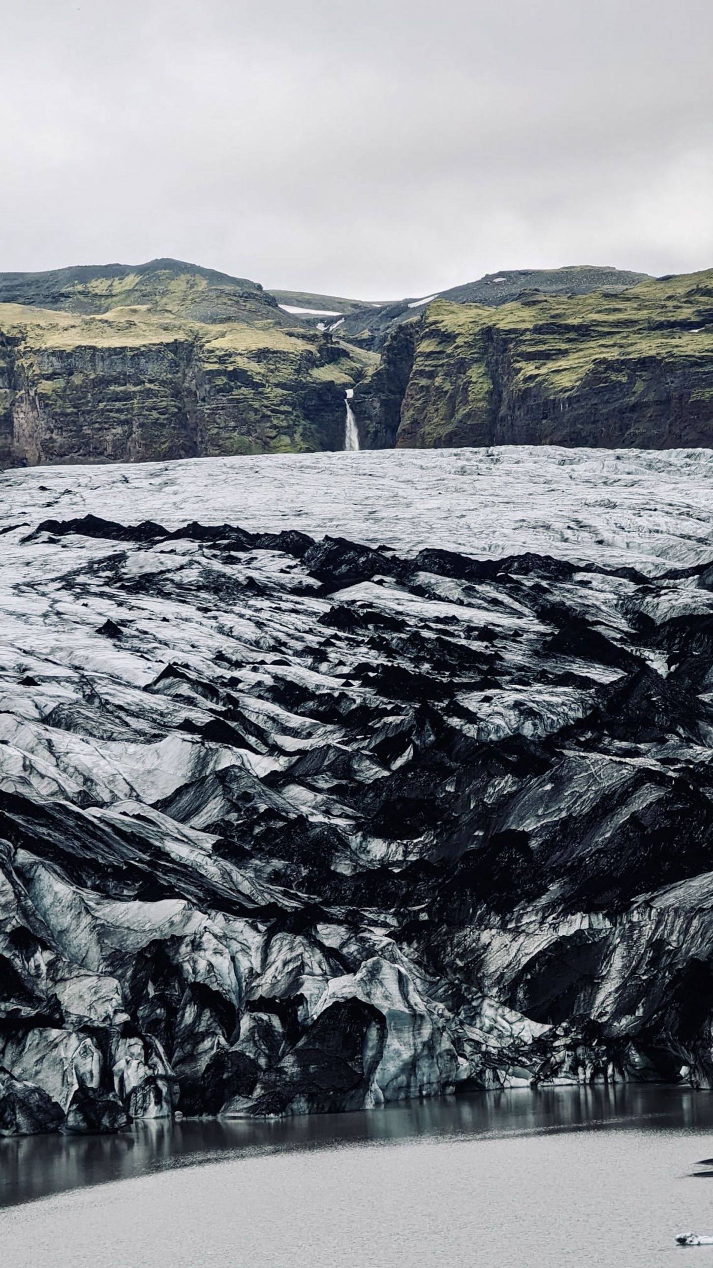
- Katla: walk onto Sólheimajökull, an outlet glacier of Mýrdalsjökull, on a guided glacier hike. The dark bands in the ice are ash from past eruptions. Never go onto the glacier without a certified guide; the Met Office warned of changing conditions at its margin in July 2026.
- Hekla: on a clear day the long, snowy ridge is visible from the Ring Road around Hella and from inland roads to the north.
- The LAVA Centre in Hvolsvöllur has an interactive exhibition on Iceland's volcanoes, including the 2010 eruption.
Vík, the village below Katla, is the base for Reynisfjara and the black beaches. Our South Coast guide puts all of these into one route.
If Katla, Hekla or Eyjafjallajökull shows signs of unrest, the authorities close roads and areas quickly. Check vedur.is and safetravel.is before you travel along the south coast, and read our Iceland volcano safety guide.
These three are only part of the story. For Reykjanes, Askja, Krafla and the rest of the 17 volcanoes on our map, see our guide to volcanoes in Iceland.
Facts checked October 2026. Volcanic activity under Mýrdalsjökull and at Hekla is monitored continuously; check vedur.is and safetravel.is for current warnings, flood alerts and road closures on the south coast.
Sources
- 2010 eruptions of Eyjafjallajökull (Wikipedia)
- Hekla (Wikipedia)
- Monitoring Hekla (Icelandic Met Office)
- Mýrdalsjökull (Wikipedia)
- 1918 eruption of Katla (Wikipedia)
- News (Icelandic Met Office)
- Eyjafjallajökull volcanic glacier (Iceland Travel Guide)
- How to pronounce Icelandic place names (Bus Travel Iceland)