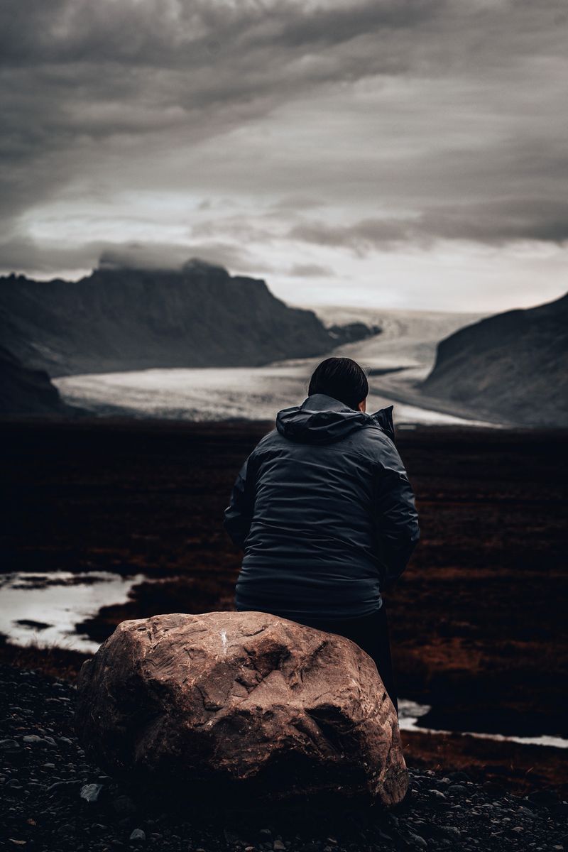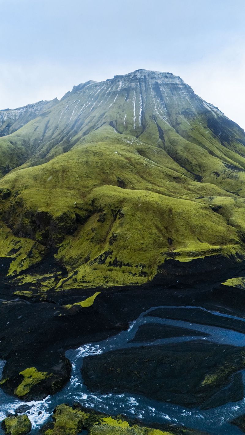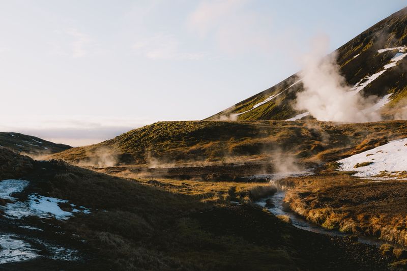
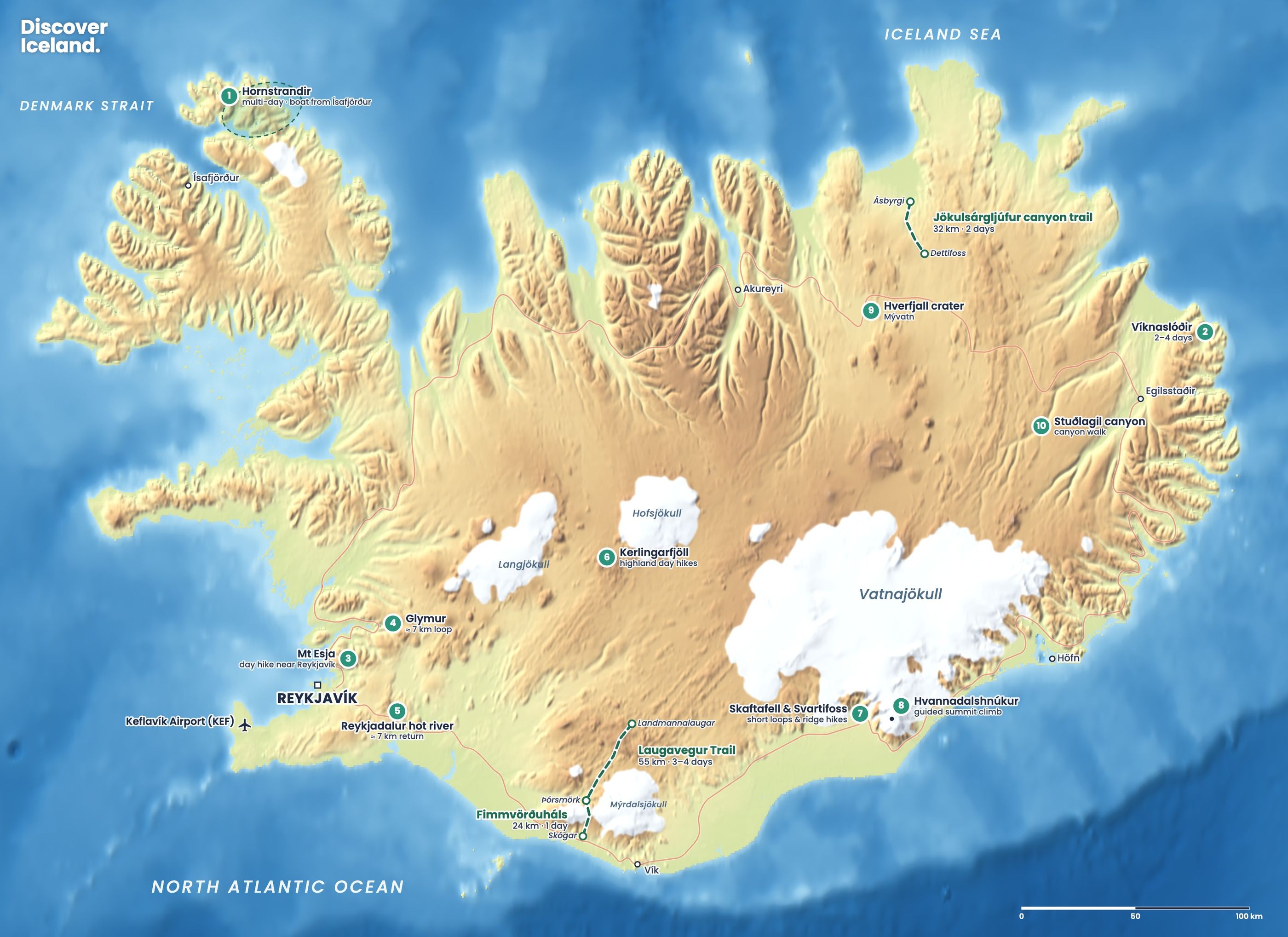
The Fimmvörðuháls hike crosses a high pass between the Eyjafjallajökull and Mýrdalsjökull glaciers, from Skógafoss on the south coast to the valley of Þórsmörk. It is about 25 km with roughly 1,000 m of climbing, and takes one long day or two shorter ones with a night in a hut. On the way you pass dozens of waterfalls and the craters of the 2010 eruption.
Safety warning, August 2026: on 25 August 2026 Ferðafélag Íslands, Útivist and the Dagrenning rescue team strongly advised against hiking Fimmvörðuháls. Glacier retreat had opened ravines and crevasses between the two huts on the pass. Check fi.is and safetravel.is for the latest before you plan this hike.
Is it safe to hike Fimmvörðuháls right now?
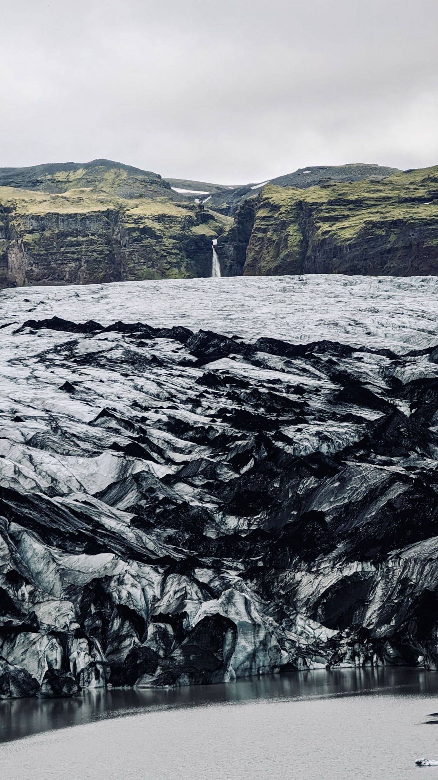
As of late October 2026, the last official word is a warning against crossing. The Icelandic Tourist Board passed on the warning on 25 August 2026. It said glacier retreat had opened new ravines and crevasses on the section between Baldvinsskáli and Fimmvörðuhálsskáli, where hikers used to cross snow and ice. Steep scree slopes had formed, and heavy rain had made parts of the trail impassable.
Iceland Review reported that snow bridges over glacial streams were singled out as especially dangerous. The organisations said they were looking for a new, safer route around the affected section. We found no notice that the warning had been lifted. Before the 2027 season, check whether a new route has been marked, and treat the crossing as a serious mountain journey, not a maintained path.
How long is the Fimmvörðuháls hike?
FÍ gives the route as 25 km in two stages: 12 km from Skógar to the Baldvinsskáli hut and 13 km from there to Þórsmörk. Other sources give 22 to 24 km, depending on where you start and finish in Þórsmörk. Fit hikers walk it in one day of about 8 to 11 hours. Splitting it with a night at the hut on the pass makes it far more relaxed.
| Stage | Distance | Time | What to expect |
|---|---|---|---|
| Skógar to Baldvinsskáli | 12 km | 4–5 h | About 1,000 m up past the Skógá waterfalls |
| Baldvinsskáli to Þórsmörk | 13 km | 4–6 h | Over the pass, craters, ridges, steep descent |
What do you see on the Fimmvörðuháls trail?
The first half is a waterfall walk. A steep staircase of about 370 steps climbs beside Skógafoss, and the path then follows the Skógá river upstream past more than 20 waterfalls. About 8 km in, a footbridge crosses the river and is a good place to fill water bottles. The last 4 km to the hut are mostly on a gravel track.
The second half crosses the pass. About 3 km beyond Baldvinsskáli you reach Goðahraun, the lava field from the 2010 eruption. The eruption began on the night of 20 March 2010 on the northern part of the pass. Its two new craters were named Magni and Móði, after the sons of Thor, a fitting name so close to Þórsmörk.
From the craters the trail passes a memorial to three travellers who died in a snowstorm on the pass in May 1970. It then descends the steep slope of Brattafönn and crosses Heljarkambur, a narrow ridge with a chain on the most exposed part. After the views from Morinsheiði comes Kattarhryggir, another narrow ridge, and finally the steep path down Strákagil into the green birch woods of Goðaland.
Which direction should you hike Fimmvörðuháls?
Most people walk from Skógar to Þórsmörk. The climb is more gradual from the south, and you have the waterfalls in front of you all the way up. Hikers who have just finished the Laugavegur Trail often walk it the other way, from Þórsmörk to Skógar, to reach the Ring Road and the bus.
Where do you sleep on Fimmvörðuháls?
There are two huts near the top of the pass. Baldvinsskáli, run by FÍ, sits at about 900 m and sleeps 16 in a dormitory. It has a small kitchen with gas stoves, but FÍ says there is no fresh water at the hut, so you must carry enough for the hike and your stay. A night cost about ISK 17,000–18,000 in 2026. Útivist runs Fimmvörðuhálsskáli nearby.
Camping near Baldvinsskáli is possible, but FÍ warns the ground is poor for tent pegs and there is no shelter, so it is not an option in bad weather. In Þórsmörk you can stay at Útivist's hut at Básar in Goðaland or FÍ's Langidalur hut, 2 km further across the Krossá footbridge.
When can you hike Fimmvörðuháls?
The trail is generally passable from about late June to mid-September. FÍ gives an average season of 20 or 25 June to 15 September, depending on snow. In summer, daytime temperatures are typically 5–14°C, but it can freeze at night on the pass. The pass is often snow-covered well into summer, and Brattafönn can stay snowy and slippery. Outside summer the huts are unstaffed and the crossing is for experienced winter mountaineers only.
How hard is the Fimmvörðuháls hike?
Fimmvörðuháls is a demanding hike even in good conditions. The climb is long, the descent into Þórsmörk is steep, and the two ridges are exposed, so take care if you dislike heights. The weather near the pass changes quickly. FÍ notes that wind above about 10–12 m/s makes hiking difficult, and fog can make the markers hard to follow.
- Check the forecast at vedur.is and leave a travel plan at safetravel.is.
- Carry a map, GPS or phone with offline maps, waterproofs, warm layers, a first-aid kit and spare dry clothes.
- Do not hike alone, and consider a guide while the warning stands.
- Phone coverage is patchy; in an emergency call 112.
Never cross a snow bridge over a stream or step onto glacier ice. If you want to walk on a glacier, join a guided tour at nearby Sólheimajökull; our glacier hiking guide explains the options.
How do you get to Skógar and Þórsmörk?
Skógar is on the Ring Road east of Seljalandsfoss, with a car park at the foot of Skógafoss. Summer highland buses and public Strætó buses link Skógar with Reykjavík, and highland buses also run between Þórsmörk and Reykjavík. Þórsmörk is reached only by a rough highland track with unbridged rivers, so most hikers leave the car behind and use the bus.
If the crossing stays closed, you can still enjoy the lower half: walk up the Skógá river as far as the footbridge and back, about 16 km return. For other routes, see our guide to hiking in Iceland.
Facts checked October 2026. The warning against crossing Fimmvörðuháls was issued on 25 August 2026 and we found no notice that it had been lifted; the route may be changed for 2027. Check fi.is, utivist.is and safetravel.is before you go.
Sources
- Warning: dangerous conditions on the Fimmvörðuháls hiking trail (Icelandic Tourist Board)
- Fimmvörðuháls dangerous conditions warning (Iceland Review)
- Trails: Fimmvörðuháls (Ferðafélag Íslands)
- Hut: Fimmvörðuháls / Baldvinsskáli (Ferðafélag Íslands)
- Fimmvörðuháls (Wikipedia)
- Skógafoss waterfall guide (Perlan)
- Online booking: huts and packages (Ferðafélag Íslands)