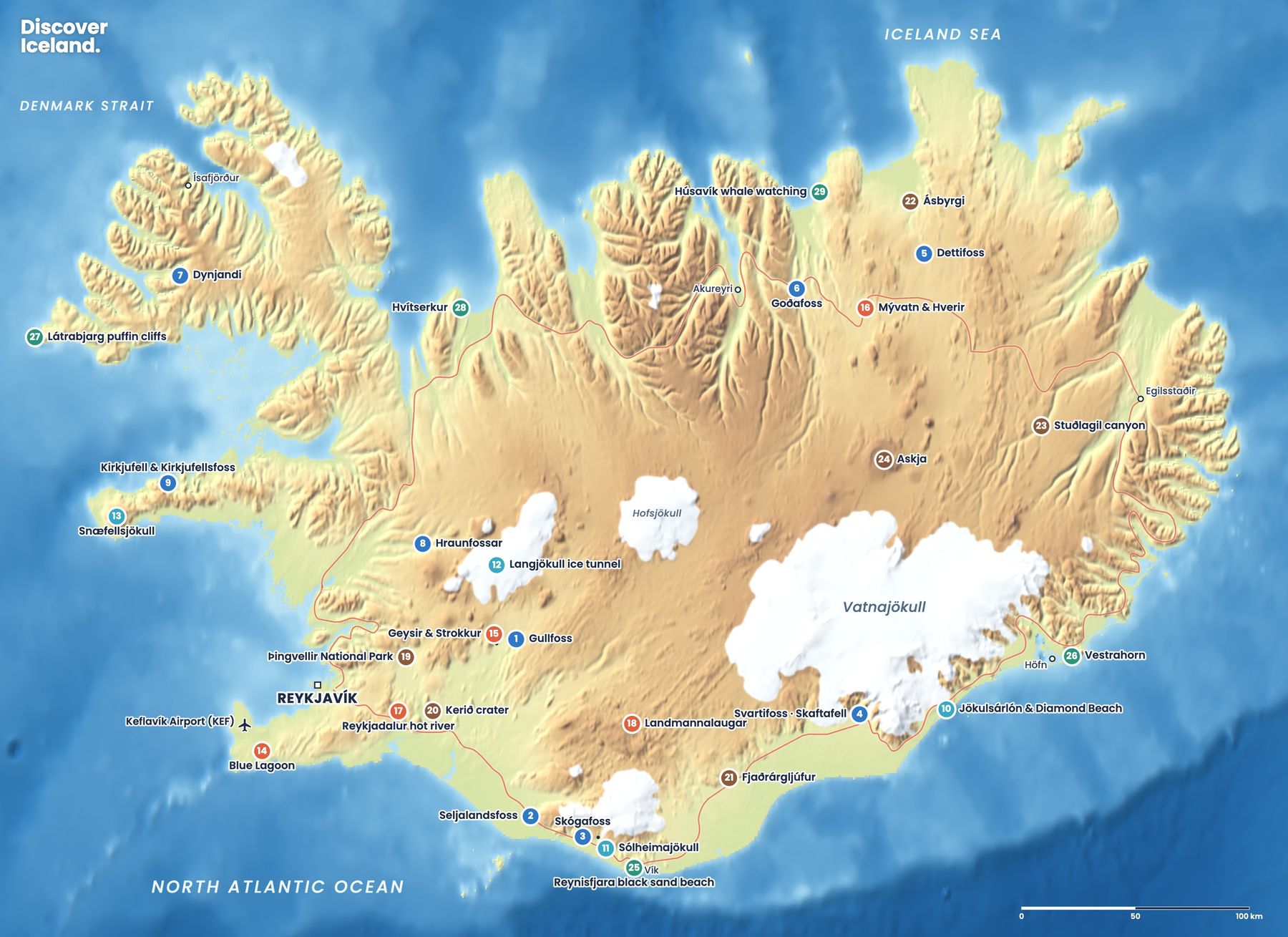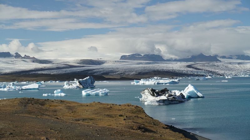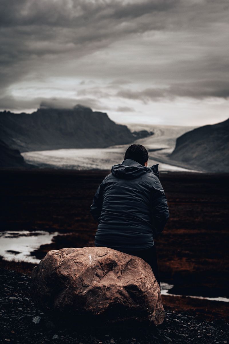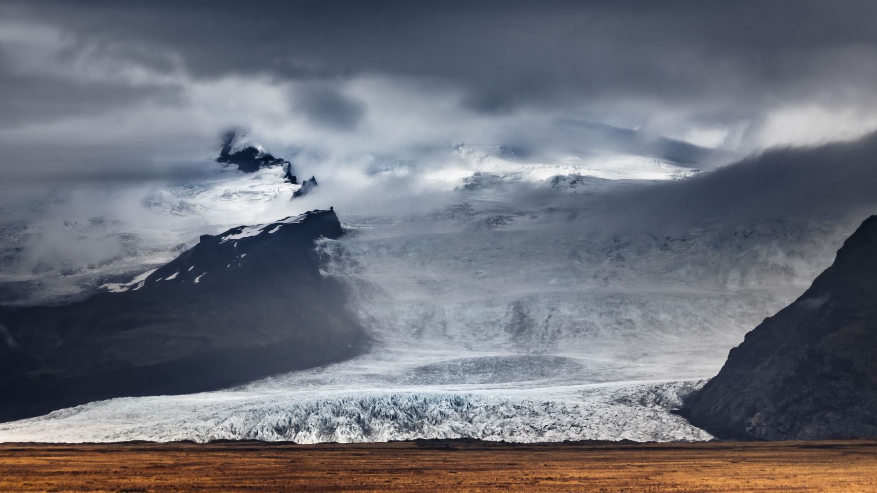
Vatnajökull is the largest ice cap in Iceland and covers about 8 percent of the country. Beneath it lie active volcanoes, and from its edges dozens of outlet glaciers spill down towards the lowlands.
Vatnajökull National Park, a UNESCO World Heritage Site, protects the ice cap and the land around it, from Skaftafell in the south to Jökulsárgljúfur and Dettifoss in the north.
Getting there
You see Vatnajökull's outlet glaciers from Route 1 for hours between Skaftafell and Höfn. The ice cap itself is reached only on guided tours, such as snowmobile or super jeep trips.
When to go
The southern edge is accessible all year. Highland parts of the park open only in summer.
Good to know
- Base yourself near Skaftafell or Höfn for a few nights.
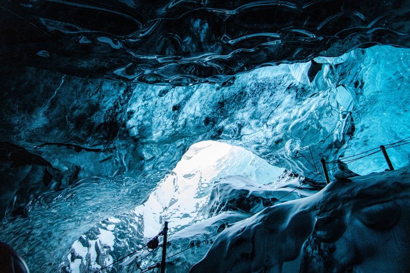
- Combine a glacier hike, a lagoon and an ice cave in winter.
- Watch for wind warnings on this stretch of road.
Read more in the journal
- Iceland's Glaciers: Where to See, Walk and Explore
- Iceland's Volcanoes: A Visitor's Map and Guide
- Dettifoss: East or West Side?
- Iceland Ice Caves: Season, Safety and Tours
- Vatnajökull National Park: A First-Timer's Guide
Drive times are approximate and depend on weather and road conditions. Check road.is and vedur.is before you set off.