Vatnajökull National Park covers about 14% of Iceland, from the ice cap itself to the canyons of the north and the lava fields of the west. For a first visit, focus on the south: Skaftafell for hiking and guided glacier walks, and Fjallsárlón and Jökulsárlón for the glacier lagoons, all on the Ring Road. This guide explains what is in the park, where to start, what it costs and when to go.
What is Vatnajökull National Park?
It is Iceland's largest protected area, about 14,967 km², centred on the Vatnajökull ice cap. The park was founded on 7 June 2008, when the older Skaftafell and Jökulsárgljúfur national parks were joined with the ice cap and the land around it. It became a UNESCO World Heritage Site on 5 July 2019, recognised for the geological variety created by the interplay of volcanoes and ice.
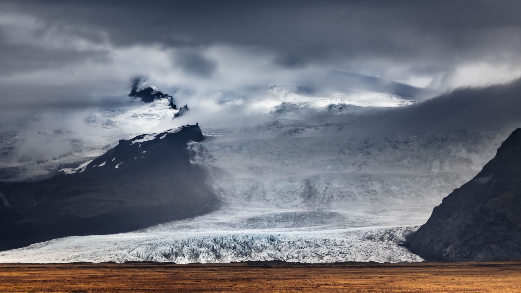
The ice cap covers about 7,720 km². The World Heritage area has ten central volcanoes, eight of them under the ice, including Grímsvötn and Bárðarbunga. Hvannadalshnúkur, on the rim of Öræfajökull, is Iceland's highest peak at about 2,110 m. The park is run by the Nature Conservation Agency of Iceland.
What are the main areas of the park?
The park is divided into four territories. Only the southern one is on the Ring Road for its whole length.
| Territory | Highlights | Access |
|---|---|---|
| South | Skaftafell, Svartifoss, Falljökull, Fjallsárlón, Jökulsárlón, the Lón area | Route 1, all year |
| North | Ásbyrgi, Jökulsárgljúfur canyon, Dettifoss, Askja | Paved roads to the canyon; Askja by highland road in summer |
| East | Snæfell area, Kverkfjöll | Highland roads in summer |
| West | Laki craters, Langisjór | Highland roads in summer |
The north, east and west need a 4x4 and summer conditions for most sights, apart from Ásbyrgi and the Jökulsárgljúfur canyon. First-timers get by far the most from the southern territory.
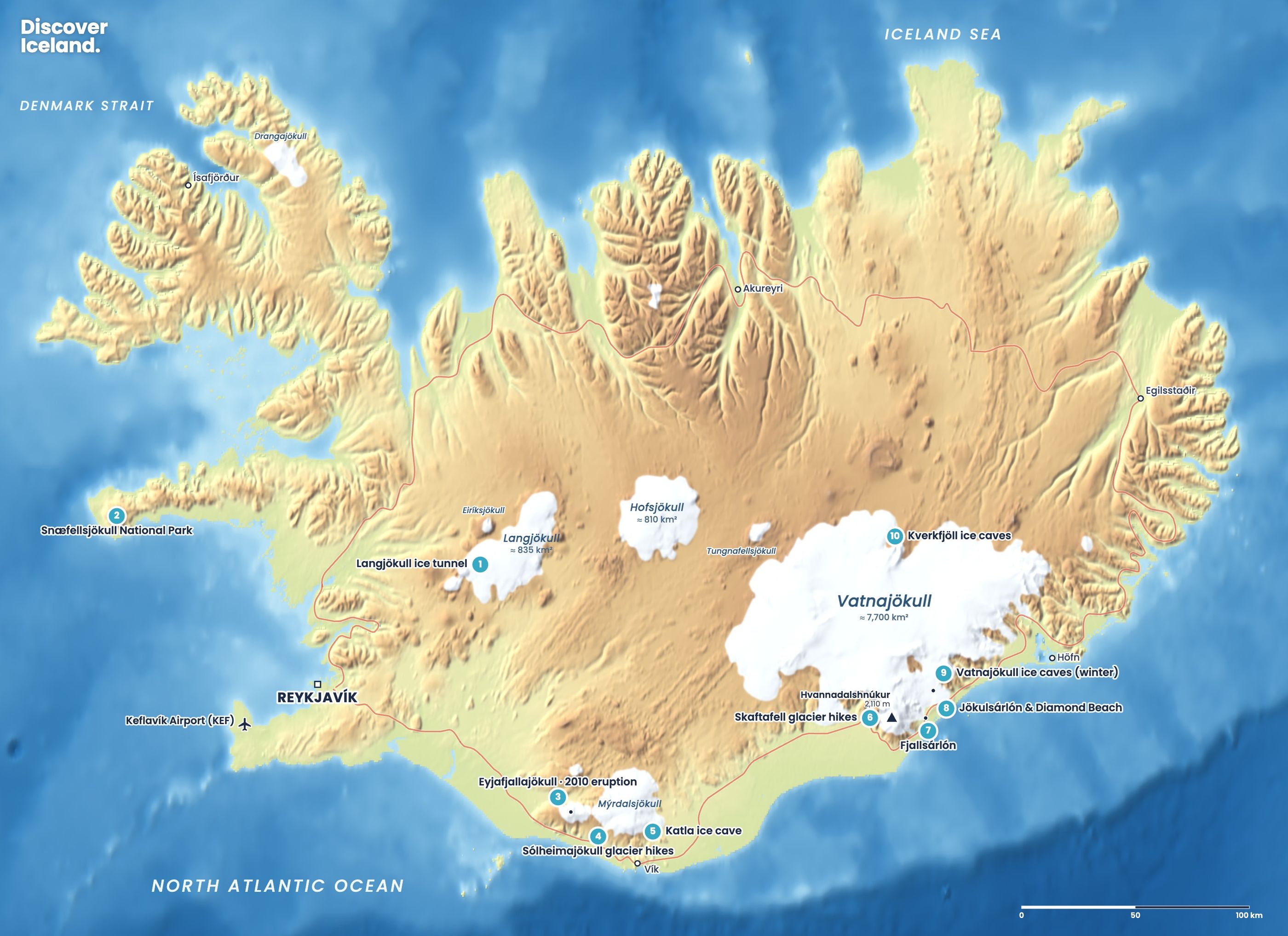
Where should first-timers go in Vatnajökull National Park?
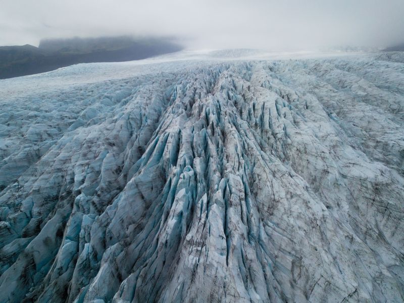
Start at Skaftafell and work east along Route 1 to Jökulsárlón. In one or two days you can walk to a waterfall, stand at a glacier front, join a guided hike and see the lagoons.
- Skaftafell: 325 km from Reykjavík. Walk to Svartifoss and the Skaftafellsjökull viewpoint, or join a guided hike on Falljökull.
- Fjallsárlón: a short walk from the car park to a lagoon right under the steep Fjallsjökull glacier, with Zodiac tours from spring to autumn.
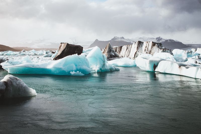
- Jökulsárlón and Diamond Beach: about 10 km further east, the park's most famous sight, with boat tours in summer and ice caves in winter.
- Höfn: about 80 km east of Jökulsárlón, the nearest town with full services and a good base for the eastern part of the park.
Our Jökulsárlón and Diamond Beach guide has parking, boat tours and safety details for the lagoon.
What are the best walks at Skaftafell?
The best first walk is the trail to Svartifoss, the waterfall framed by black basalt columns. It is about 1.5 km each way from the visitor centre, with a climb of about 140 m, and takes about 45 minutes up. These are the main marked trails, from the park's own trail information.
| Trail | Distance | Time | Level |
|---|---|---|---|
| Svartifoss and back | About 3 km return | About 1.5 h | Easy, some climbing |
| S2 Svartifoss – Sjónarsker – Sel (loop) | 5.8 km | 2 h | Easy |
| Skaftafellsjökull viewpoint | About 3.6 km return | About 1 h | Easy, mostly flat |
| S6 Svartifoss – Sjónarnípa | 7.1 km | 2.5–3 h | Challenging |
| S3 Skaftafellsheiði (loop) | 16.6 km | 5–6 h | Challenging |
| S4 Kristínartindar | 18 km | 6–8 h | Difficult |
The S2 loop passes Svartifoss, the Sjónarsker viewpoint and the old turf farm at Sel. Sjónarnípa looks straight down onto Skaftafellsjökull. Kristínartindar, at 1,126 m, is the big day hike, with views across the ice cap and the sand plains. The paths have steps that get slippery when wet or icy, so wear proper boots, and in winter carry microspikes.
Where are the visitor centres?
The main visitor centre for the south is Skaftafellsstofa at Skaftafell, open all year. It has information, toilets and the start of the main trails, and most guided glacier hikes meet nearby. In the north, the visitor centre at Ásbyrgi opens from May to September, as does Skriðuklaustur in the east. The park also runs a centre at Kirkjubæjarklaustur, and there are information points in Höfn and elsewhere around the ice cap.
How much does it cost to visit?
Entry to the park is free, but you pay a parking fee at the busiest sites. At Skaftafell a standard car pays about ISK 1,110 in 2026, plus a small transaction fee, and larger vehicles pay more. Jökulsárlón charges about ISK 1,000 for a car. You pay with the Parka app or website, cameras read your number plate, and the fee covers the rest of that day.
If you pay the full fee at one of the two sites and visit the other the same day with the same payment method, the second is half price. Camping at Skaftafell costs about ISK 1,500 per person per night, with showers, toilets and cooking facilities.
Stay on the marked trails, and go onto the ice only with a guide. Glacier fronts, lagoon edges and ice caves inside the park change daily, and some are closed when unsafe. Check safetravel.is and vedur.is before you set out.
What can you do in the park in each season?
The southern part of the park is open all year, but what you can do changes with the light and the ice.
- Summer (June to August): long days for the Skaftafell trails, boat tours on Jökulsárlón and Fjallsárlón, guided glacier hikes, and highland roads open to Askja and Laki.
- Autumn (September to October): fewer people, autumn colours in the birch woods at Skaftafell, the last boat tours and the first dark nights for the northern lights.
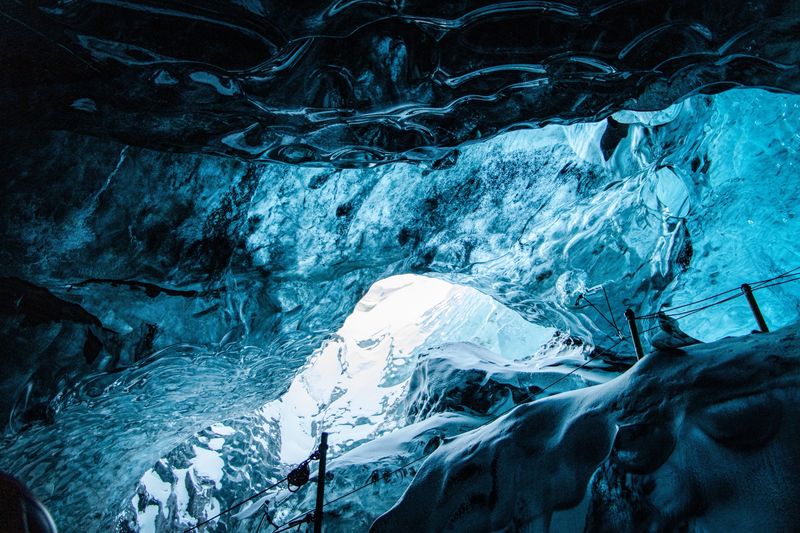
- Winter (November to March): natural ice caves on guided tours, the most ice on Diamond Beach, short days and the chance of storms. See our ice cave guide.
- Spring (April to May): longer days return, boat tours start again, and the park is still quiet.
How many days do you need?
Give the southern part of the park at least two nights. Spend one day at Skaftafell with a walk to Svartifoss and a glacier hike, and the next at Fjallsárlón and Jökulsárlón with a boat tour or, in winter, an ice cave. With a third day, add the Skaftafellsheiði loop or the drive to Höfn and the mountains at Vestrahorn.
Accommodation is limited between Kirkjubæjarklaustur and Höfn, so book early, especially for summer. Our guide to Iceland's glaciers has a three-day south coast plan, and our glacier hiking guide helps you choose a tour. For photos, see our Vatnajökull page.
Facts checked October 2026. Parking fees, visitor centre hours and trail conditions change; check the park website and Parka before you go. Highland roads in the north, east and west open only in summer.
Sources
- Vatnajökull National Park (Wikipedia)
- Vatnajökull National Park added to UNESCO's World Heritage List (Government of Iceland)
- S2 Svartifoss – Sjónarsker – Sel trail (Vatnajökull National Park)
- Visit Jökulsárlón or Skaftafell: area fees (Vatnajökull National Park)
- Pay for parking at Skaftafell (Parka)
- A hiker's guide to Skaftafell (isnet.is)
- Skaftafell (Icelandia)
- List of glaciers in Iceland (Wikipedia)