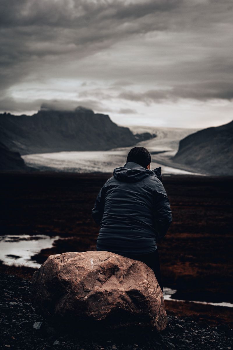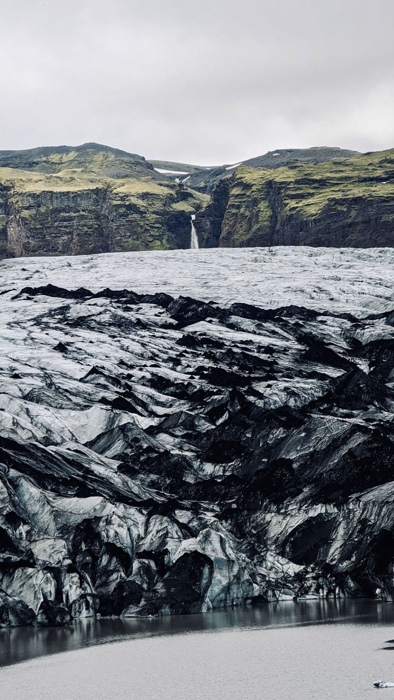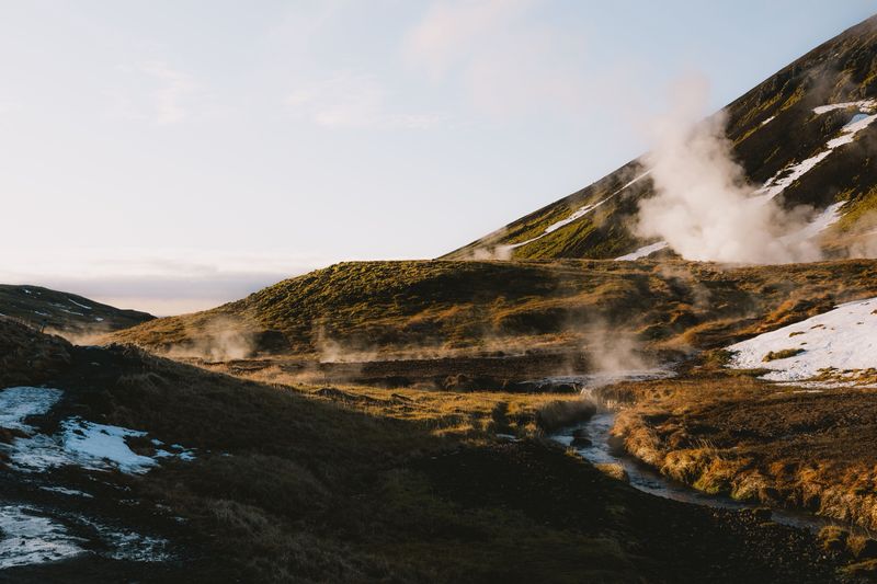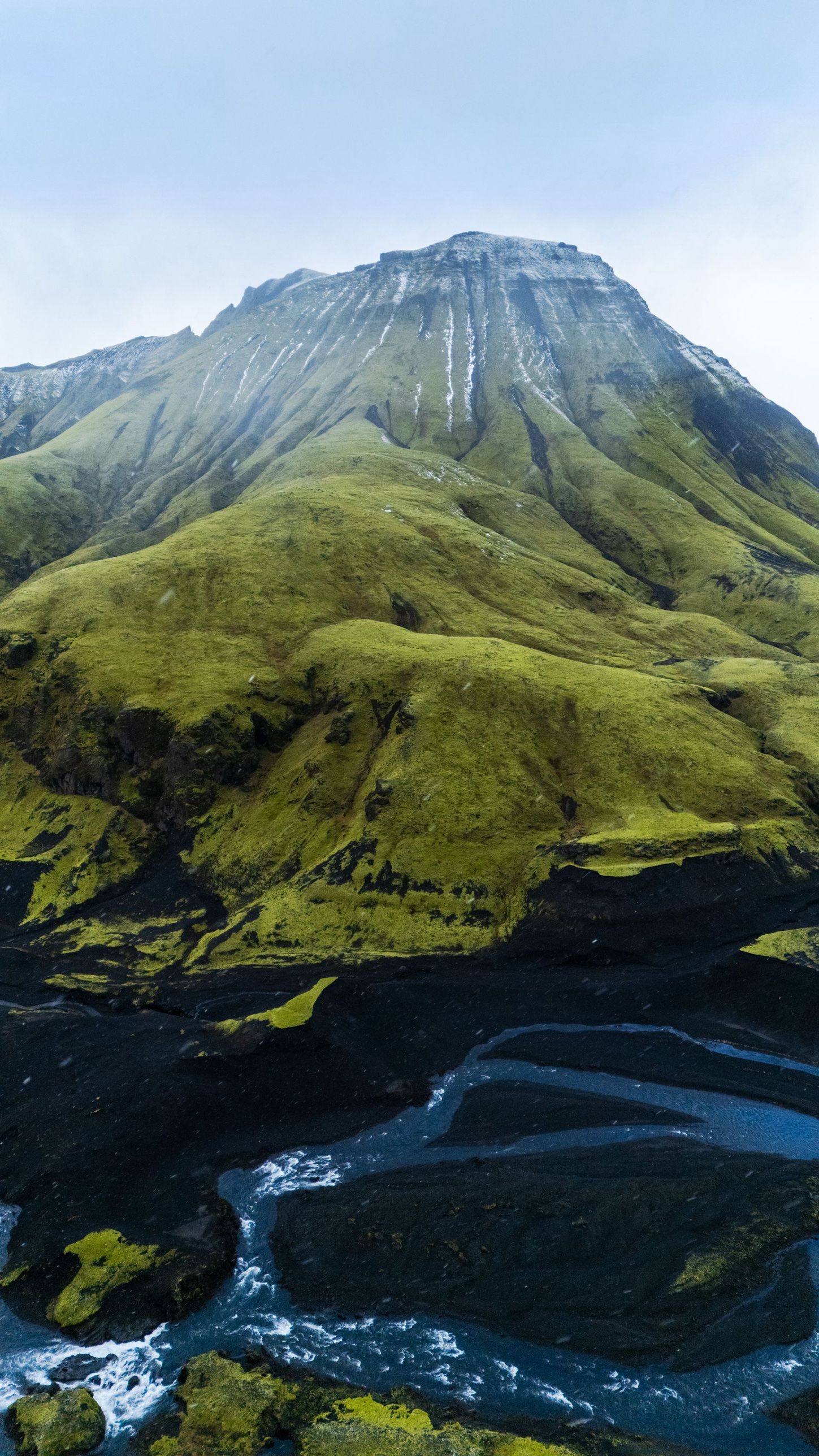
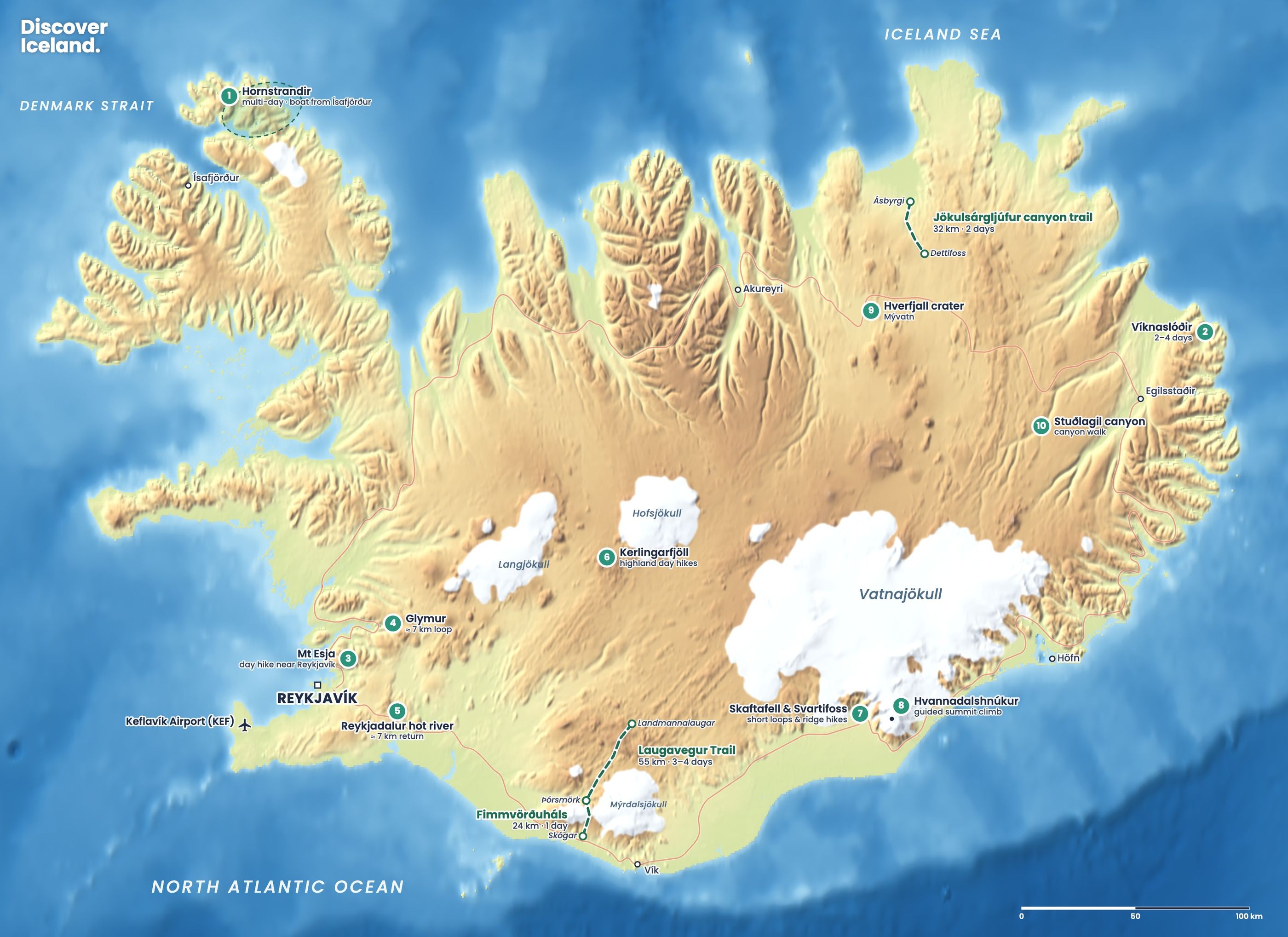
The Laugavegur Trail is a 54–55 km hike from Landmannalaugar to Þórsmörk in Iceland's southern highlands. Most people walk it in four days, north to south, sleeping in mountain huts or at the campsites beside them. The trail is normally open from late June to mid-September. You need to book huts and buses well ahead for July and August.
How long is the Laugavegur Trail?
Ferðafélag Íslands (FÍ), which runs most of the huts, gives the Laugavegur as 54 to 55 km. The standard plan splits it into four stages of 12 to 16 km, each taking four to seven hours. Fit hikers can walk it in three days or even two, but the long days leave little margin for bad weather.
The route climbs from Landmannalaugar over the high ground around Hrafntinnusker, then descends gradually to the birch woods of Þórsmörk. Many hikers add Fimmvörðuháls to continue to Skógar on the south coast; see our Fimmvörðuháls guide for the current warning on that route.
What are the stages of the Laugavegur Trail?
The four standard stages, with FÍ's distances and times, are:
| Stage | Distance | Time | Height change |
|---|---|---|---|
| 1. Landmannalaugar to Hrafntinnusker | 12 km | 4–5 h | About 470 m up |
| 2. Hrafntinnusker to Álftavatn | 12 km | 4–5 h | About 490 m down |
| 3. Álftavatn to Emstrur | 16 km | 6–7 h | Mostly level |
| 4. Emstrur to Þórsmörk | 15 km | 6–7 h | About 300 m down |
FÍ also suggests a three-day version (Landmannalaugar to Álftavatn, 24 km; Álftavatn to Emstrur; Emstrur to Þórsmörk) and a two-day version via Hvanngil, with two days of about 28 km.
Stage 1: Landmannalaugar to Hrafntinnusker
The first day is the steepest climb. You leave the Laugahraun lava field, pass steaming vents and climb through orange, green and grey rhyolite hills to Hrafntinnusker, named after its black obsidian. Snow can lie here well into summer, and fog is common.
Stage 2: Hrafntinnusker to Álftavatn
The trail crosses high ground with views of the glaciers, then drops steeply to the lake at Álftavatn. FÍ warns that fog can cut visibility to almost nothing between Landmannalaugar and Álftavatn, so follow the trail markers closely.
Stage 3: Álftavatn to Emstrur
This is the longest stage. Soon after Álftavatn you reach Hvanngil, an alternative overnight stop about 4 km further on. Then comes a long walk across black sand plains below Mýrdalsjökull. Several of the trail's river crossings come on this stage, so ask the warden about water levels before you leave.
Stage 4: Emstrur to Þórsmörk
The last day starts near the canyons of the Markarfljót river at Emstrur and ends in the birch woods of Þórsmörk. The final river, Þröngá, must be waded before you reach the woods. The trail ends at the Langidalur hut in Þórsmörk.
Where do you sleep on the Laugavegur?
You sleep in FÍ mountain huts or camp at the campsites next to them. The huts have bunks, gas stoves, cooking equipment and toilets, and most have showers you pay for. You must bring your own sleeping bag and food. FÍ's hut capacities are:
- Landmannalaugar: 78 beds, beside the hot spring.
- Hrafntinnusker (Höskuldsskáli): 52 beds, the highest and coldest stop.
- Álftavatn: two huts, 72 beds, by the lake.
- Hvanngil: 60 beds, a quieter alternative to Álftavatn.
- Emstrur (Botnar): three huts, 60 beds, at about 465 m.
- Þórsmörk (Langidalur, Skagfjörðsskáli): 73 beds.
Útivist runs a separate hut at Básar in the Goðaland part of Þórsmörk, about 2 km from Langidalur across the Krossá footbridge. Wardens staff the huts in summer and can tell you about weather and rivers.
How do you book the Laugavegur huts?
Book on the FÍ website, as early as you can. For 2026 FÍ sold hut nights on the Laugavegur as route packages rather than single nights. A three-night hut package (for example Landmannalaugar, Álftavatn and Þórsmörk) cost ISK 54,000, and a five-night package with every stop cost ISK 90,000. Packages that combine huts with a rented tent were cheaper. Individual hut nights on other FÍ routes cost about ISK 16,000–18,000.
FÍ says you should have confirmed bookings before you start, whether in a hut or at a campsite. In October 2026 FÍ's booking system already listed 2027 dates.
Plan around the weather. Keep a spare day at the end of your trip. Storms can close the trail, and wardens may advise you to wait at a hut rather than continue.
When can you hike the Laugavegur Trail?
The Laugavegur is open on average from 25 June to 15 September, according to FÍ. The exact opening depends on snow and on when the road authority opens the highland roads to Landmannalaugar. In June and early July expect snowfields, especially around Hrafntinnusker. July and August are the busiest months, with the most daylight. Outside the season the huts are locked, and FÍ says winter crossings need expert skills and full winter equipment.
How do you get to and from the Laugavegur?
Most hikers take the summer highland buses. They run from the BSÍ bus terminal in Reykjavík to Landmannalaugar from late June to early September, and from Þórsmörk back to Reykjavík. Reykjavík Excursions (Icelandia) and other operators sell one-way and return tickets, and the ride to Landmannalaugar takes about four hours.
If you drive, you need a 4x4 that your rental company allows on F-roads. Driving your own car to Landmannalaugar between 9:00 and 16:00 requires a parking reservation; in summer 2026 the rule applied from 20 June to 13 September and cost ISK 1,500 for a car with up to five seats. Remember that the trail ends far from where it starts, so a bus is usually simpler. Our Landmannalaugar hiking guide covers the roads and the day hikes at the start of the trail.
How hard is the Laugavegur Trail?
The Laugavegur is a moderate to challenging trek for fit hikers with some experience. The paths are well marked, and the daily climbs are modest. The difficulty comes from the conditions: cold wind, rain, fog, snow and river crossings, often all in one day.
At least three rivers have no bridge: Grashagakvísl (sometimes snow-bridged in early summer), Bláfjallakvísl and Þröngá. Others, including Kaldaklofskvísl, Fremri-Emstruá and Ljósá, have footbridges. Bring sandals or light shoes for wading, cross in the morning when levels are lower, and ask the wardens before you set off. FÍ notes that phone signal is unreliable along the route, sometimes only on hilltops, and the huts have no wifi. In an emergency call 112.
What should you pack for the Laugavegur?
Pack full waterproofs, warm layers, a hat and gloves, sturdy boots, wading shoes, a sleeping bag and all your food. Campers need a tent that can handle strong wind. Carry a map and a GPS or phone with offline maps, plus a power bank. Our Iceland hiking packing list has the full checklist.
What else is near the Laugavegur?
Spend an extra day at Landmannalaugar to climb Bláhnúkur and Brennisteinsalda before you start. At the other end, Þórsmörk has short walks among birch woods and glacier views. Back on the Ring Road, Seljalandsfoss and Sólheimajökull are close to the road into Þórsmörk. For more treks and day walks, see our guide to hiking in Iceland.
Facts checked October 2026. Hut and package prices are FÍ's 2026 rates, and the trail's opening depends on snow and road openings each year. Bus timetables and Landmannalaugar parking rules are set each spring; check fi.is, the bus operators and safetravel.is before you go.
Sources
- Trails: Laugavegur (Ferðafélag Íslands)
- Online booking: huts and packages (Ferðafélag Íslands)
- Hut: Emstrur (Ferðafélag Íslands)
- Trails: Fimmvörðuháls, with Þórsmörk huts (Ferðafélag Íslands)
- Highland Bus: Reykjavík to Landmannalaugar (Icelandia)
- Landmannalaugar parking (Parka)
- Hiking and trekking (SafeTravel)