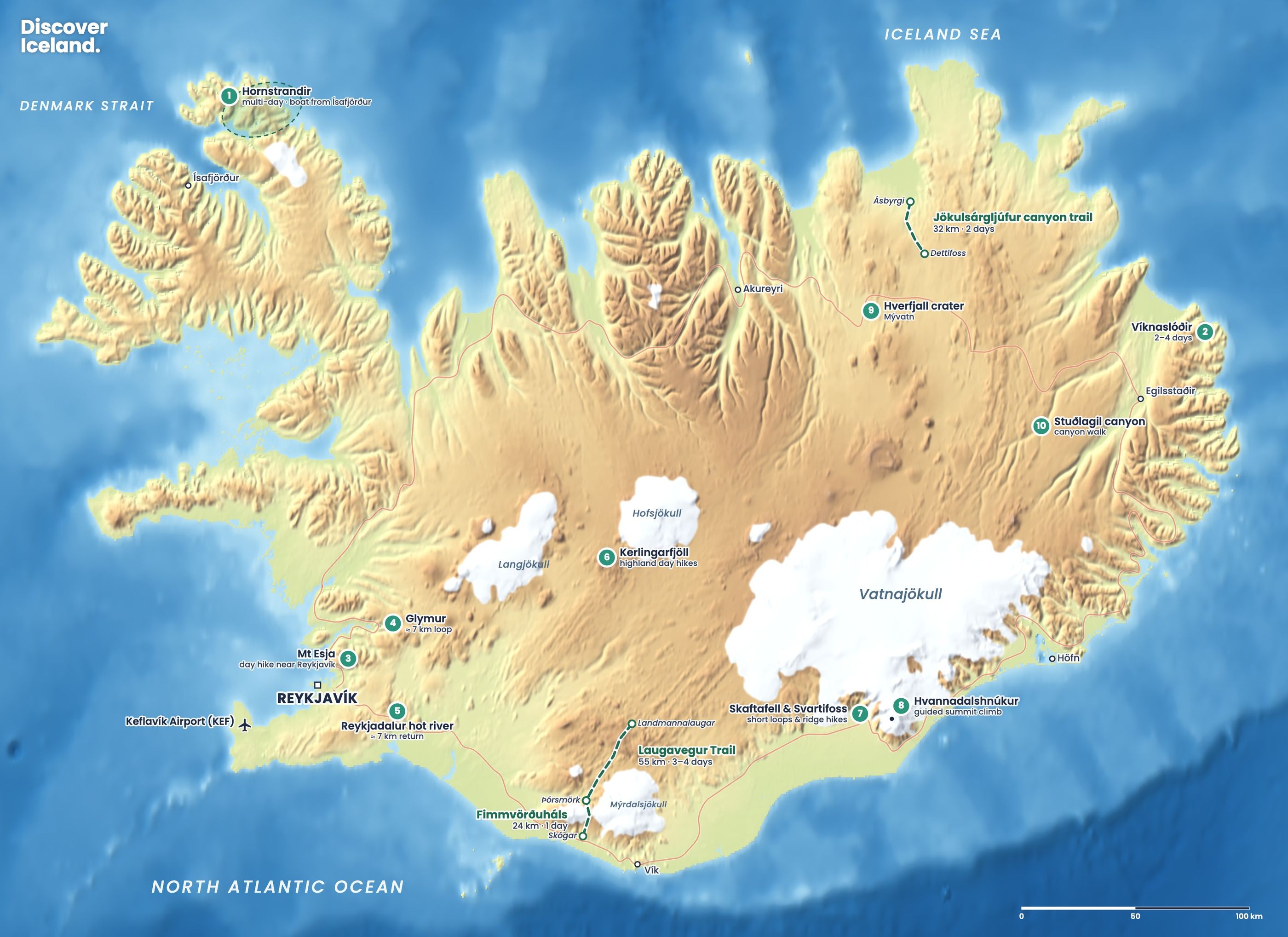
Landmannalaugar is the best place for hiking in Iceland's highlands: a valley of coloured rhyolite mountains, black lava and steaming vents, with a natural hot spring next to the trailhead. The classic day hikes are Bláhnúkur, Brennisteinsalda and the Laugahraun lava loop. You can only get there in summer, roughly late June to September, by 4x4 on the F-roads or by highland bus.
What are the best hikes in Landmannalaugar?
The best hikes in Landmannalaugar are Bláhnúkur for the view, Brennisteinsalda for the colours and steam, and the Laugahraun loop for an easy introduction. All start from the hut and campsite. Distances and times vary a little between sources, depending on the exact route.
| Trail | Return distance | Time | Climb | Level |
|---|---|---|---|---|
| Grænagil canyon | About 2 km | About 1 h | Minimal | Easy |
| Laugahraun lava loop | About 4.3 km | 1.5–2 h | About 115 m | Easy |
| Brennisteinsalda | About 6.5–8 km | 2–3 h | About 255–300 m | Moderate |
| Bláhnúkur | About 4–5.7 km | 2.5–3.5 h | About 300–320 m | Steep |
| Brennisteinsalda–Bláhnúkur loop | About 11 km | 4–6 h | About 620 m | Challenging |
| Suðurnámur ridge | About 9.3 km | 3–4.5 h | About 440 m | Challenging |
| Ljótipollur crater lake | About 13.3 km | 4–6 h | About 340 m | Moderate |
Bláhnúkur
Bláhnúkur, the "blue peak", rises to about 945 m just south of the hut. FÍ describes a route of about 4 km with a climb of just over 300 m, taking about three hours. Cross the stream from Grænagil near the hut, and the path climbs steadily up grey scree to a summit with views over the whole coloured valley. You can go down the same way or take the steeper marked path west into Grænagil.
Brennisteinsalda
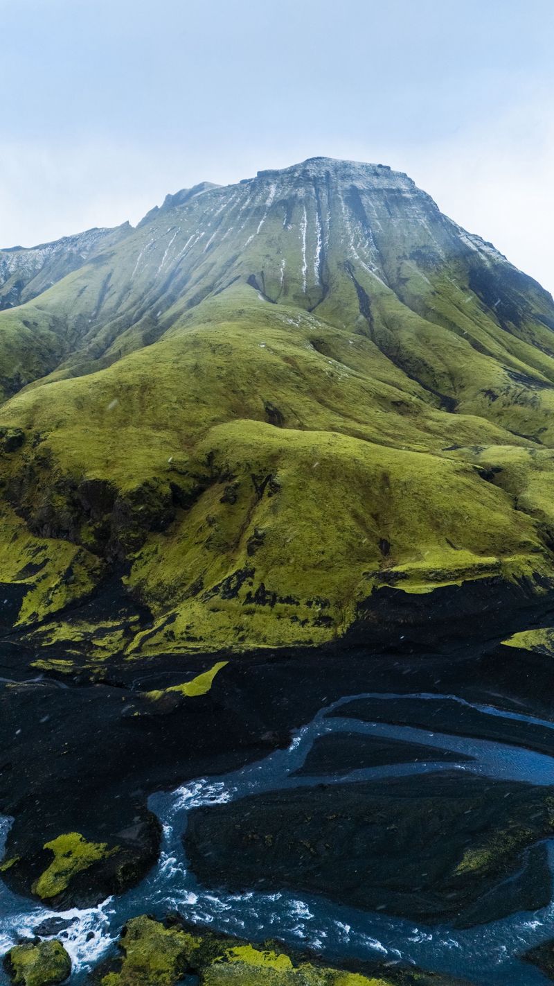
Brennisteinsalda, about 855 m, means roughly "sulphur wave", and its slopes are streaked with yellow, red and green. The trail crosses the Laugahraun lava field, passes active fumaroles and climbs steeply up the back of the mountain to a broad top. Plan on two to three hours. It is also the first climb of the Laugavegur Trail, which continues south to Hrafntinnusker.
Laugahraun
The Laugahraun lava field, formed in an eruption around 1477, lies right behind the hut. The loop across it is the easiest good walk here: about 4.3 km over black obsidian and moss, with views of the rhyolite slopes. Combine it with Brennisteinsalda or Bláhnúkur for a full day.
Longer day hikes
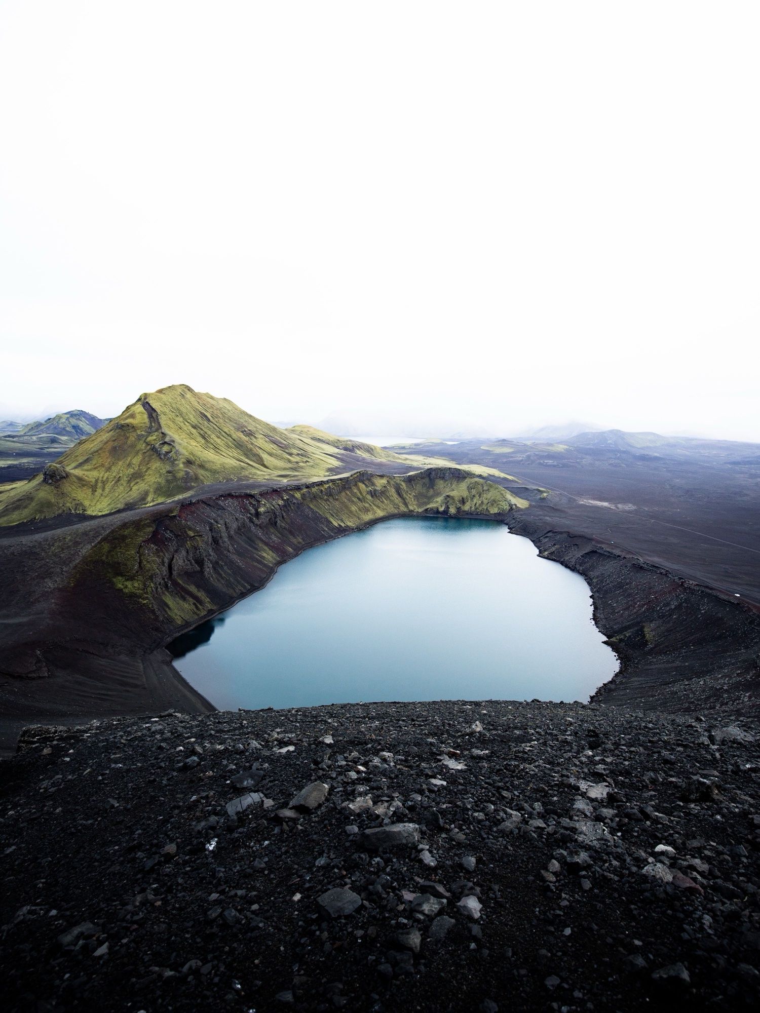
For a bigger day, the Brennisteinsalda–Bláhnúkur loop links both summits in about 11 km. Suðurnámur follows a high ridge west of the valley. Ljótipollur, the "ugly puddle", is in fact a striking red crater lake to the north. Higher routes can hold snow into early July.
How do you get to Landmannalaugar?
You get to Landmannalaugar by highland bus or by driving a 4x4 on the F-roads. There is no route for normal cars.
By highland bus
Summer highland buses run daily from the BSÍ terminal in Reykjavík, roughly from late June to early September. The ride takes about four hours, arriving around midday. Buses usually leave again mid-afternoon, which gives you time for a short hike and a bath, but not for the longer trails. For a full day of hiking, stay overnight. Bus passengers do not need a parking reservation.
By 4x4 on the F-roads
Three F-roads lead in. The F208 from the north is the easiest approach, with no river crossings until the final stretch. The F208 from the south and the F225 both cross rivers. The last 2.5 km into Landmannalaugar are on the F224, which has two fords just before the hut area.
Small SUVs are not recommended through those fords, even if they are 4x4s. Park at the northern car park (P1) instead and walk over the footbridge. Rental insurance usually does not cover water damage, so never cross a river you are unsure about. The roads usually open between mid and late June, and some open later, so check the road map at umferdin.is before you go.
Do you need to book parking at Landmannalaugar?
Yes, if you drive your own car and arrive between 9:00 and 16:00 in summer. In 2026 the rule applied from 20 June to 13 September, and bookings opened on 1 April. A car with up to five seats paid ISK 1,500, a car with six to nine seats ISK 2,450 and a motorcycle ISK 750.
Book through the Parka app or website, or via the Environment Agency. Outside 9:00 to 16:00 you need no booking, but every vehicle still pays the fee, and cameras read number plates. The agency says the daily slots sold out on most days in 2024, so book as soon as you know your date. Hiking elsewhere in the Fjallabak Nature Reserve needs no reservation.
Arrive early. The buses arrive around midday. Reach Landmannalaugar before 9:00 and you will have the trails, the parking and the hot spring almost to yourself.
Can you bathe in the hot spring at Landmannalaugar?
Yes. A natural pool next to the campsite, where hot water from under the lava mixes with cold streams, is open to everyone. The water is usually about 36–40°C. The toilets, open around the clock, are covered by the parking or service fee. Bathe after your hike, not before.
Where can you stay at Landmannalaugar?
You can stay in the FÍ hut, which sleeps 78, or at the campsite beside it. Both fill up in July and August, so book early on the FÍ website. The hut has a kitchen and bunks; bring your own sleeping bag and food.
When is the best time to hike in Landmannalaugar?
July and August are the best months for hiking in Landmannalaugar. All trails are normally open and you have very long days. In late June the lower trails open first, while Suðurnámur and other high routes can hold snow into July. September is quieter, but rain is more likely and early snow can close high trails. Outside summer the huts are locked and the F-roads are closed to normal traffic.
How do you stay safe hiking in Landmannalaugar?
- Stay on marked paths. The ground near the vents is hot and unstable, and the moss is fragile.
- Expect cold even in summer, and carry waterproofs, a warm layer, a hat and gloves.
- Glacial streams rise in the afternoon and after rain. Do not wade water above your knees if you have no experience.
- Check the forecast at vedur.is, talk to the hut warden, and leave a travel plan at safetravel.is.
- Phone coverage is limited. In an emergency call 112.
What else is near Landmannalaugar?
Landmannalaugar is the start of the Laugavegur Trail. On the highland roads around it you can also reach the crater lakes of Veiðivötn and, further south-east, Mælifell on its black sand plain. For more trails across the country, see our guide to hiking in Iceland, and check our packing list before you go.
Facts checked October 2026. Parking rules and fees are the 2026 figures and are set again each spring. F-road opening dates change every year; check umferdin.is, vedur.is and safetravel.is before you travel.
Sources
- Trails: Bláhnúkur í Laugum (Ferðafélag Íslands)
- Landmannalaugar hiking guide (Arctic Adventures)
- The Brennisteinsalda hike (The Photo Hikes)
- Landmannalaugar FAQ: reservations and access (Environment Agency of Iceland)
- Landmannalaugar parking (Parka)
- Trails: Laugavegur, with hut capacities (Ferðafélag Íslands)
- Landmannalaugar (Wikipedia)