Seven days is the shortest comfortable time to drive the whole Ring Road. This itinerary goes anticlockwise from Reykjavík, with nights in Hella, Vík, Höfn, Egilsstaðir, Mývatn and Akureyri, and a long last day back to the capital. Most days have two to four hours of driving plus stops. It works best from late May to September, when the days are long and the mountain passes are clear.
Is 7 days enough for the Ring Road?
Yes, 7 days is enough to drive the Ring Road and see its main sights, but it is a full week. Visit Iceland suggests at least seven days for the loop. You will have time for short walks at each stop, not for long hikes or many detours. If you can add even two or three days, the 10-day Ring Road itinerary spreads the same route out and adds Snæfellsnes.
In winter, seven days is too tight for the full loop. Short daylight and storm closures make long days risky. See our guide to the Ring Road in winter for alternatives.
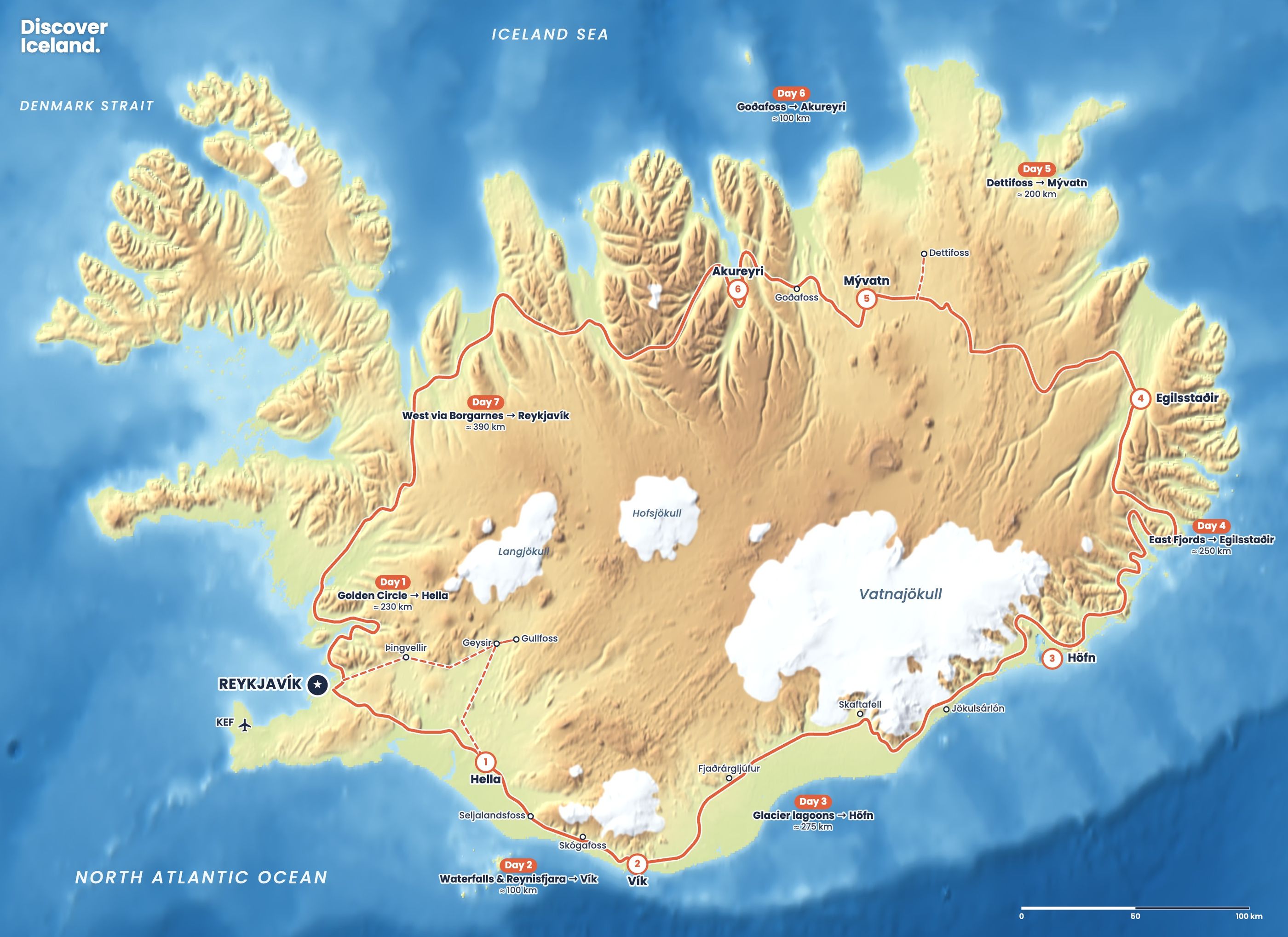
What does the 7-day Ring Road route look like?
| Day | Route | Distance | Overnight |
|---|---|---|---|
| 1 | Golden Circle to Hella | ≈230 km | Hella |
| 2 | Waterfalls and Reynisfjara to Vík | ≈100 km | Vík |
| 3 | Glacier lagoons to Höfn | ≈275 km | Höfn |
| 4 | East Fjords to Egilsstaðir | ≈250 km | Egilsstaðir |
| 5 | Dettifoss to Mývatn | ≈200 km | Mývatn |
| 6 | Goðafoss to Akureyri | ≈100 km | Akureyri |
| 7 | West via Borgarnes to Reykjavík | ≈390 km | Reykjavík |
Distances include the short detours to the sights. For the leg-by-leg breakdown, see our Ring Road driving times.
Day 1: What do you see on the Golden Circle?
Day 1 covers the Golden Circle and ends in Hella, about 230 km in all. Leave Reykjavík early for Þingvellir National Park, where you walk through the rift between two tectonic plates. Parking costs ISK 1,000 for a car for the day.
Continue to the Geysir geothermal area, where Strokkur erupts every six to ten minutes, usually 15–20 metres high. Then drive ten minutes on to Gullfoss, which drops 32 metres in two steps into a canyon. From Gullfoss, head south through farmland to Route 1 and Hella for the night.
Day 2: Which waterfalls do you pass on the way to Vík?
Day 2 is a short drive of about 100 km with some of the best stops in Iceland. Seljalandsfoss falls 60 metres, and a path leads behind the water into a small cave. Bring a waterproof jacket.
About 30 km further on, Skógafoss is just as tall and 25 metres wide. A staircase of 527 steps climbs to the top. In the afternoon, visit the Dyrhólaey headland and the black sand beach at Reynisfjara before checking in at Vík.
At Reynisfjara: stay well back from the water, even when the sea looks calm. Sudden "sneaker waves" run far up the beach and have killed visitors. Never turn your back on the sea.
Day 3: How do you fit in Skaftafell and Jökulsárlón?
Day 3 is the longest drive of the first half, about 275 km to Höfn, so start early. East of Vík the road crosses the Eldhraun lava field to Kirkjubæjarklaustur, the last fuel stop for a while.
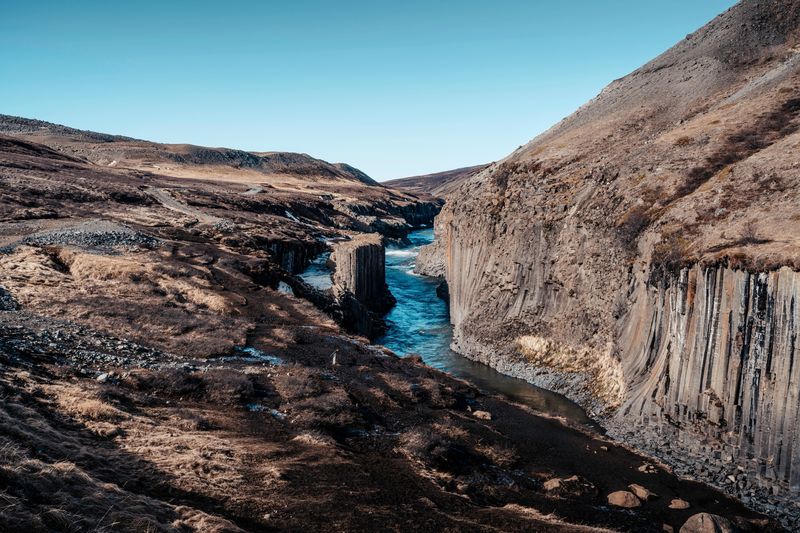
At Skaftafell, walk to Svartifoss, a waterfall framed by black basalt columns. The round trip is about 5.5 km and takes 1.5 to 2 hours. If you do not have that much time, walk to the Skaftafellsjökull glacier viewpoint instead.
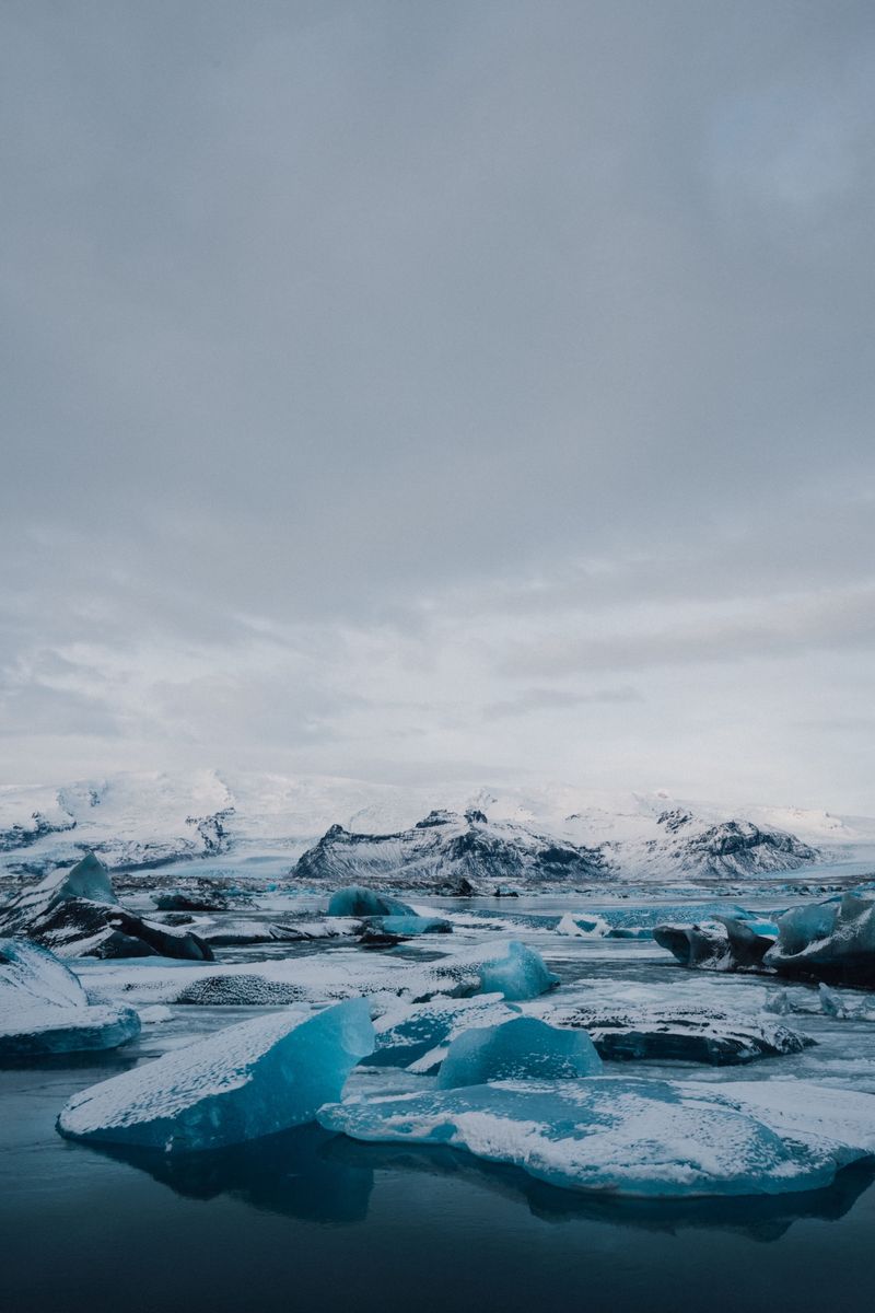
Next come the glacier lagoons. Fjallsárlón is smaller and quieter. Jökulsárlón, about 60 km east of Skaftafell, is filled with icebergs, and Diamond Beach lies just across the road. Höfn is roughly an hour further on.
Day 4: What is the drive through the East Fjords like?
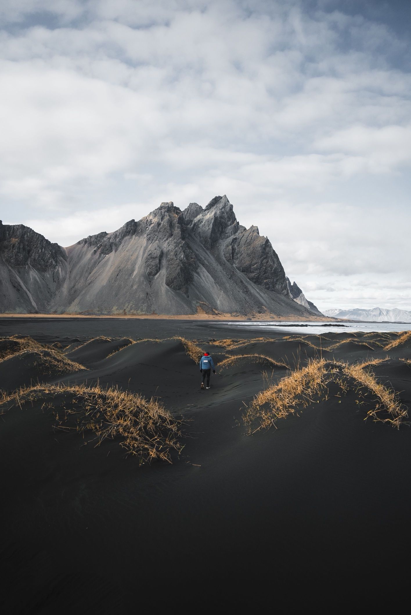
Day 4 follows the coast for about 250 km to Egilsstaðir. Leaving Höfn, stop at Stokksnes to see the black dunes below Vestrahorn.
The rest of the day winds in and out of the East Fjords, through the harbour village of Djúpivogur and past long empty bays. In summer you can take the Öxi pass from Djúpivogur, a 19 km gravel road that saves about 70 km. It is steep and narrow, and closed in winter. Keep the fuel tank above half on this stretch.
Day 5: How do you get to Dettifoss and Mývatn?
Day 5 crosses the high, empty plateau from Egilsstaðir to Mývatn, about 200 km including Dettifoss. Before you leave, consider an early walk to Hengifoss, a 128-metre waterfall 40–60 minutes' walk from its car park.
For Dettifoss, turn north off Route 1 onto Route 862, the paved road to the west bank. Dettifoss drops 44 metres over a width of 100 metres. The east bank road, Route 864, is gravel and usually only passable in summer. Back on Route 1, stop at the steaming mud pots of Hverir before reaching Mývatn. End the day in the Mývatn Nature Baths.
Day 6: What is there to see between Mývatn and Akureyri?
Day 6 is a short drive of about 100 km, so spend the morning at Mývatn. Walk around the Hverfjall crater or the lava formations at Dimmuborgir. Then drive west to Goðafoss, a 12-metre waterfall right beside Route 1.
Akureyri is about 45 minutes beyond Goðafoss. The road goes through the Vaðlaheiðargöng tunnel, which costs ISK 2,216 per trip (2026). Pay online at veggjald.is within 24 hours. In the evening, walk the old town and use the town pool.
Day 7: How long is the drive from Akureyri to Reykjavík?
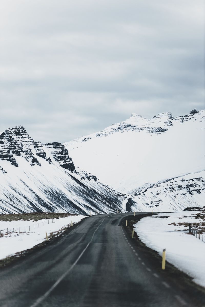
Day 7 is the longest day, about 390 km and 4.5 to 5 hours of driving without stops. The road crosses the Öxnadalsheiði and Holtavörðuheiði mountain passes, which can close in storms, so check road.is before you set off.
Break the drive in Blönduós or Borgarnes, about 75 km from Reykjavík. If you have energy left, Hraunfossar and Deildartunguhver are short detours inland from Borgarnes. The Hvalfjörður tunnel takes you under the fjord to Reykjavík, toll-free.
How should you change the plan if it rains or roads close?
Keep one flexible evening. If a pass closes, wait it out in the nearest town rather than looking for an alternative route; mountain roads are not alternatives. Book rooms with free cancellation where you can, and check the weather at vedur.is every morning.
If you fall behind, cut detours, not sleep. Dettifoss and the Öxi pass are the easiest to drop. For the full picture of rules, tolls and fuel, read our complete Ring Road guide.
What is the best month for a 7-day Ring Road trip?
June, July and August give you long days and the most reliable roads, so a 7-day loop is easiest then. Late May and early September are quieter and still usually clear. Before booking, check our month-by-month guide. Our printed Summer Guide covers the route in more detail if you like a book in the car.
Facts checked October 2026. Daily distances are approximate and include short detours. The Vaðlaheiðargöng toll and parking fees change; check veggjald.is, road.is and vedur.is before each day's drive.
Sources
- The Ring Road – Route Number One (Visit Iceland)
- Parking service (Þingvellir National Park)
- South Coast Iceland guide (Slice of Iceland)
- Dettifoss (Wikipedia)
- Öxi Pass, Route 939 (Lonely Planet)
- Vaðlaheiðargöng tunnel toll (Go Car Rental)
- Driving distances between hotels (Iceland Hotel Collection by Berjaya)