Driving the whole Ring Road takes roughly 17 to 20 hours without stops, over about 1,322 km of Route 1. The table below breaks the loop into legs between the main towns and sights, anticlockwise from Reykjavík, with approximate distances and drive times in good summer conditions. Add time for stops, roadworks and weather, and much more in winter.
How long does it take to drive the Ring Road?
Without stops, the Ring Road takes about 17 to 20 hours of driving. Nobody does it that way. With sightseeing, plan at least seven days, as Visit Iceland suggests, and ten for a relaxed trip. On a 7-day loop you drive two to five hours a day; on a 10-day loop, one to four.
The speed limit on the Ring Road is 90 km/h, so the average speed over a long leg is lower, around 70–80 km/h once you count towns, bridges, roadworks and slow traffic. The times below assume that average.
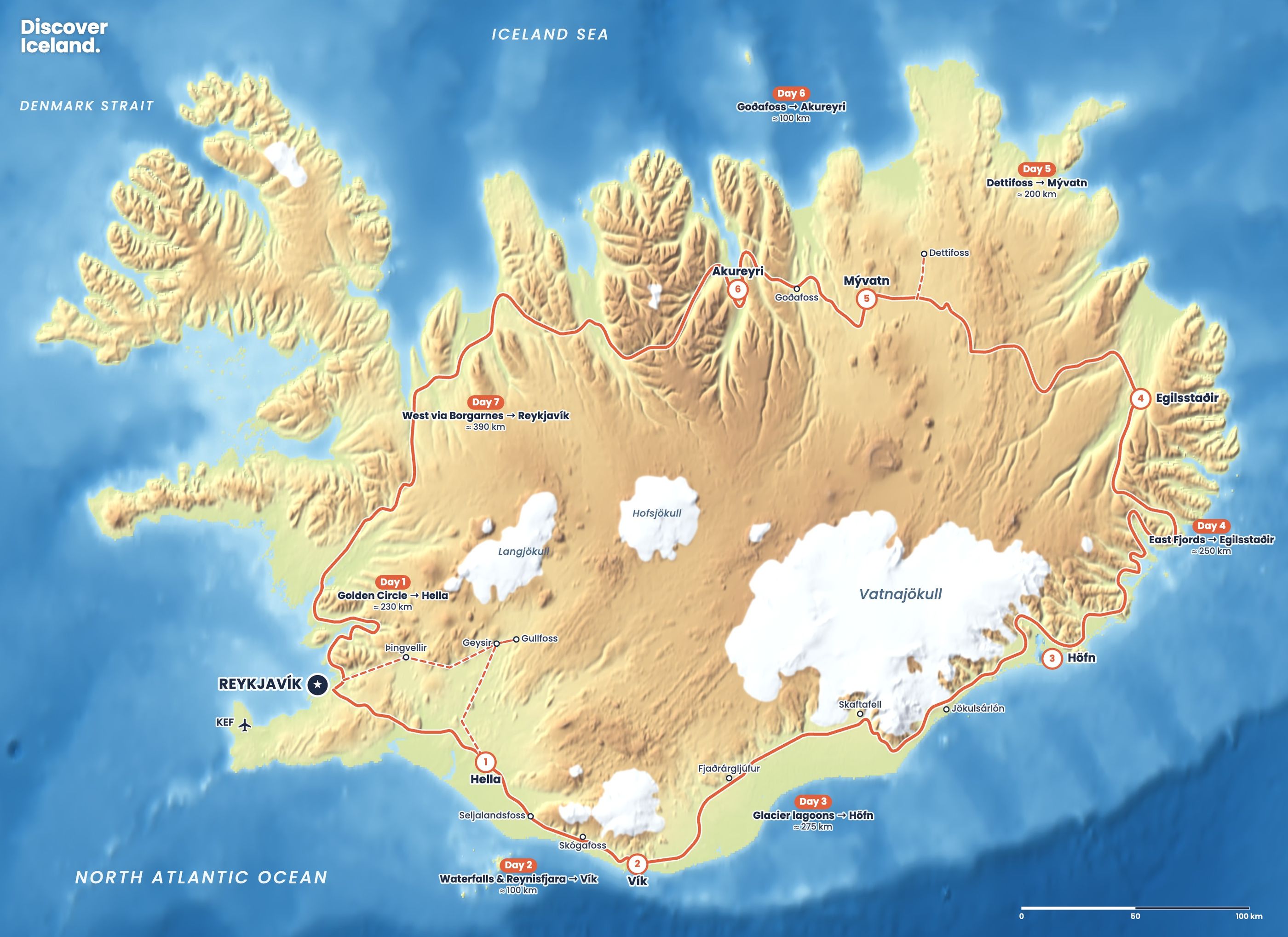
What are the Ring Road distances stop by stop?
| Leg | Distance | Drive time | Notes |
|---|---|---|---|
| Reykjavík to Selfoss | about 50–55 km | 45 min | Over the Hellisheiði heath |
| Selfoss to Hella | about 40 km | 30 min | Hella is 94 km from Reykjavík |
| Hella to Seljalandsfoss | about 30 km | 25 min | Waterfall beside Route 1 |
| Seljalandsfoss to Skógafoss | about 30 km | 25 min | |
| Skógafoss to Vík | about 35 km | 30 min | Reynisfjara is a short detour |
| Vík to Kirkjubæjarklaustur | about 75 km | 1 h | Next fuel east of Vík |
| Kirkjubæjarklaustur to Skaftafell | about 70 km | 1 h | Across the Skeiðarársandur plain |
| Skaftafell to Jökulsárlón | about 60 km | 45 min | Fjallsárlón on the way |
| Jökulsárlón to Höfn | about 75–80 km | 1 h | Höfn is just off Route 1 |
| Höfn to Egilsstaðir (coast) | about 250–260 km | 3.5–4 h | Via the East Fjords and Djúpivogur |
| Höfn to Egilsstaðir (Öxi) | about 185 km | 3 h | Summer only; 19 km of steep gravel |
| Egilsstaðir to Mývatn | about 165 km | 2 h | Over the Möðrudalsöræfi plateau |
| Mývatn to Akureyri | about 90 km | 1–1.25 h | Via Goðafoss and the toll tunnel |
| Akureyri to Blönduós | about 145 km | 1.75–2 h | Over Öxnadalsheiði |
| Blönduós to Borgarnes | about 170 km | 2–2.25 h | Over Holtavörðuheiði |
| Borgarnes to Reykjavík | about 74 km | 1 h | Through the Hvalfjörður tunnel |
Adding up the legs gives a little more than the official 1,322 km, because some towns, including Höfn and central Reykjavík, sit just off Route 1. Distances are rounded from several sources and from the official road length; use them for planning, not to the kilometre.
What are the distances from Reykjavík to the main towns?
| From Reykjavík to | Distance | Drive time |
|---|---|---|
| Keflavík Airport | 48 km | 45 min |
| Borgarnes | 74 km | 1 h |
| Hella | 94 km | 1.25 h |
| Vík | about 180–187 km | 2.5 h |
| Blönduós | about 243 km | 3 h |
| Skaftafell | about 327 km | 4.5 h |
| Jökulsárlón | about 370 km | 5 h |
| Akureyri | 389 km | 4.5 h |
| Höfn | about 455 km | 6 h |
| Egilsstaðir (via the north) | about 654 km | 8 h |
Egilsstaðir is roughly the same distance from Reykjavík either way round. In 2004 the Icelandic Science Web measured the route via the north as 654 km and via the south as 698 km, before newer tunnels shortened both.
Which legs of the Ring Road are the longest?
Akureyri to Reykjavík (389 km) is the longest leg most people drive in one day. Vík to Höfn (about 270 km) and Höfn to Egilsstaðir (about 250 km by the coast) come next. On a 7-day trip, these three are your long days. Our 7-day Ring Road itinerary puts one on each of days 3, 4 and 7. With more days, split each of them in two.
How long are the main detours off the Ring Road?
| Detour | Distance or time | Good to know |
|---|---|---|
| Golden Circle loop | about 230 km from Reykjavík | Þingvellir, Geysir, Gullfoss |
| Fjaðrárgljúfur canyon | about 6 km off Route 1 | Near Kirkjubæjarklaustur |
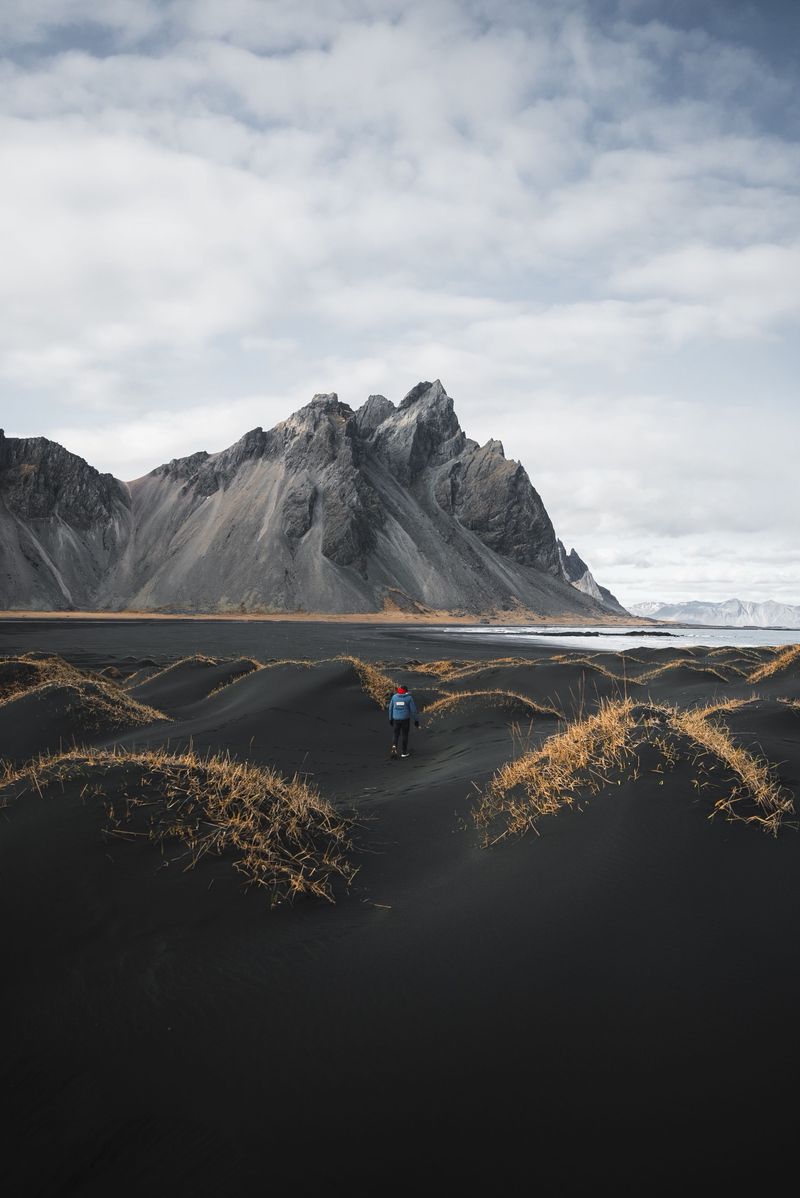
| Stokksnes and Vestrahorn | a short detour before Höfn | Black dunes below the peaks |
| Dettifoss (west, Route 862) | 1–1.25 h each way from Mývatn | Paved; can close in winter |
| Akureyri to Goðafoss | about 45 min | Right on Route 1 |
| Akureyri to Húsavík | about 1 h | Whale watching |
| Snæfellsnes from Reykjavík | about 2–2.5 h | Kirkjufell and Snæfellsjökull |
| Ísafjörður from Reykjavík | about 410–455 km | See our Westfjords road trip |
Are there tolls or tunnels that affect drive times?
Two tunnels save real time. The Hvalfjörður tunnel, 5.8 km long and free since September 2018, cuts out the long drive around the fjord north of Reykjavík. The Vaðlaheiðargöng tunnel near Akureyri, 7.4 km long and opened in December 2018, saves about 16 km. It costs ISK 2,216 per trip for a car (2026), paid online at veggjald.is within 24 hours. The free alternative over Víkurskarð adds about 16 km and can be closed in winter.
How much longer do drives take in winter?
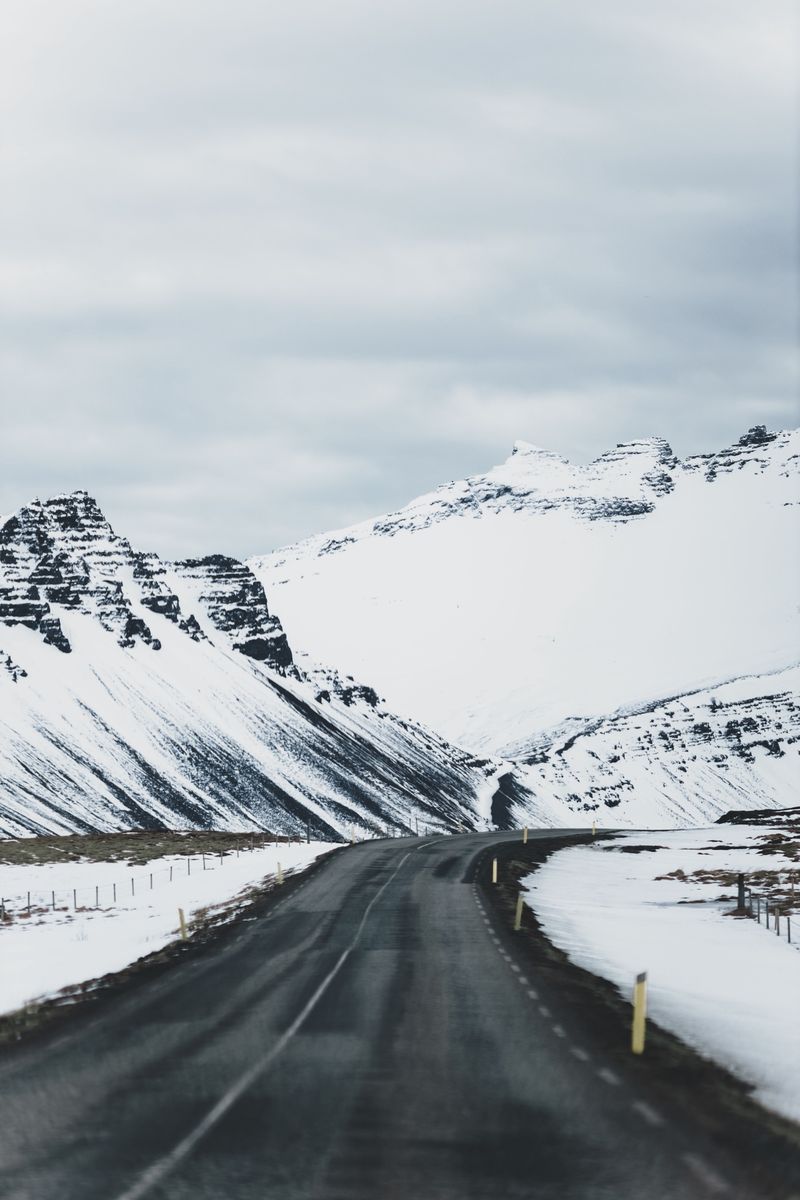
Add at least an hour or two to each driving day in winter, and more in snow or wind. You will drive slower on ice, stop to clear windows and wait for snowploughs, and in midwinter you only have about four hours of daylight in Reykjavík. Mountain passes such as Holtavörðuheiði, Öxnadalsheiði and Möðrudalsöræfi can close for hours or days.
Plan by daylight, not distance. In winter, keep each day's drive to two or three hours and finish before dark. Check road.is and vedur.is every morning.
Read our Ring Road in winter guide before booking a winter loop, and our complete Ring Road guide for the rules of the road. Our printed Complete Guide to Iceland covers each region along the way.
Where are the longest gaps between services?
The south-west and the Akureyri area have fuel, food and toilets every few dozen kilometres. The gaps open up in three places. East of Vík, Kirkjubæjarklaustur is the next fuel stop, about 75 km away. Between Höfn and Egilsstaðir, stations are few, so fill up in Höfn. And on the high plateau between Mývatn and Egilsstaðir there is almost nothing for long stretches, and this is also where temperatures run lowest in winter. Keep the tank above half on all three and carry water and snacks.
How do you plan your own Ring Road days?
- Use the leg table above to find natural overnight stops 150–275 km apart.
- Add 30–60 minutes for every major stop, and 2 hours for a hike such as Svartifoss.
- Book the scarce beds first: Vík to Höfn, then the east.
- Keep fuel above half between Höfn and Egilsstaðir and on the plateau east of Mývatn.
- Leave one flexible half day for weather.
Facts checked October 2026. Distances are rounded from several sources and drive times assume about 70–80 km/h average in good conditions. Realignments and new bridges change the figures; check road.is before each journey.
Sources
- The Ring Road – Route Number One (Visit Iceland)
- Driving distances between hotels (Iceland Hotel Collection by Berjaya)
- 7-day Ring Road itinerary with distances (Dollar Car Rental Iceland)
- South Coast Iceland guide (Slice of Iceland)
- Húnaflói: getting there (Frommer's)
- How far is it between Egilsstaðir and Reykjavík? (Vísindavefurinn)
- Öxi Pass, Route 939 (Lonely Planet)
- Vaðlaheiðargöng tunnel toll (Go Car Rental)