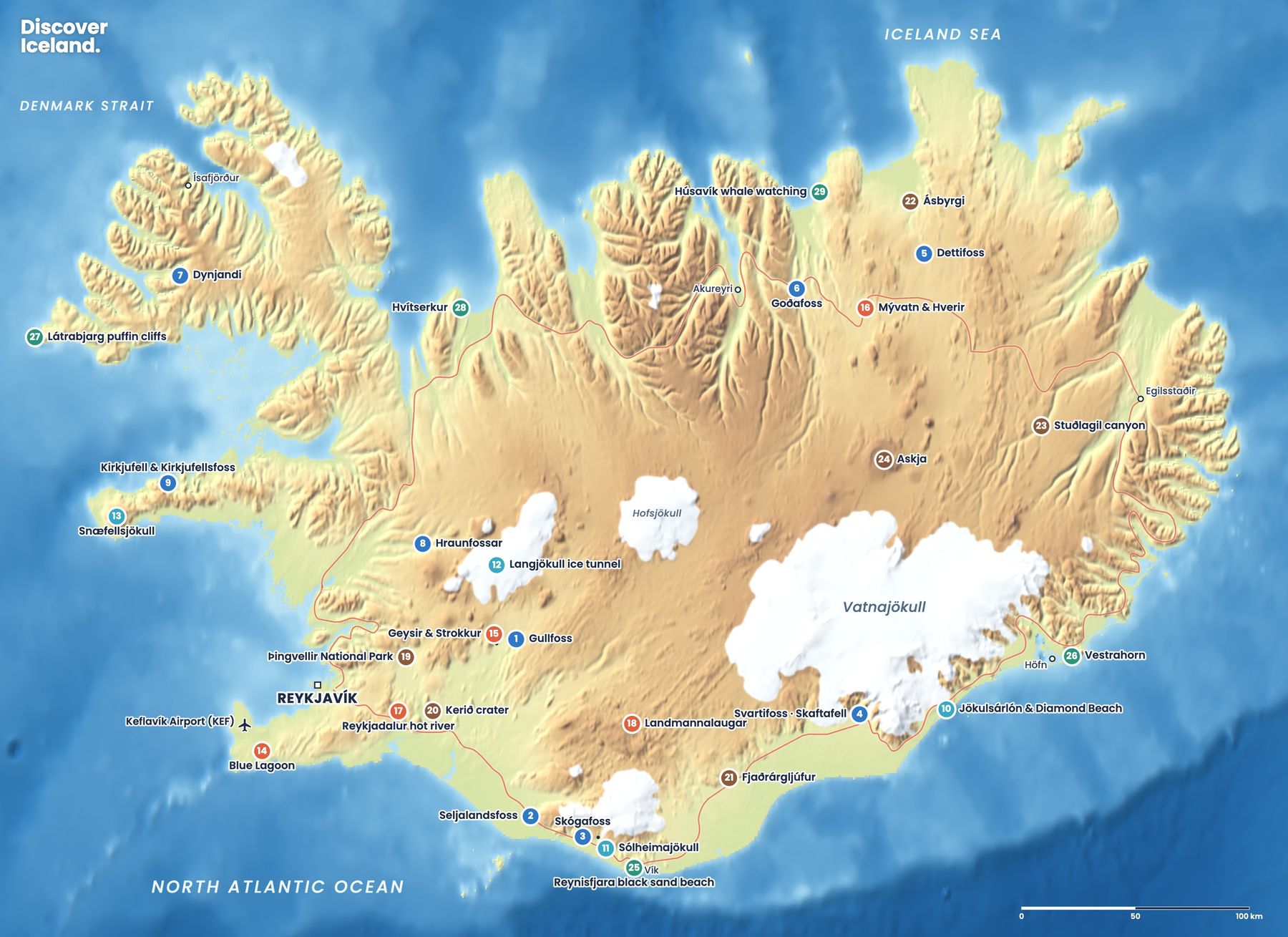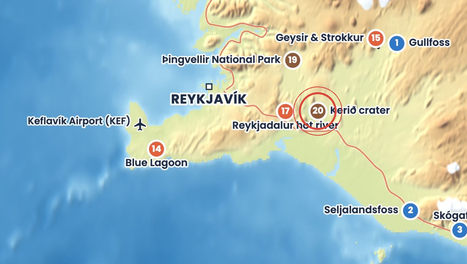
Kerið is a volcanic crater about 55 metres deep, 170 metres wide and 270 metres across at its longest. Its steep slopes are rusty red, streaked with green moss, around a lake of groundwater at the bottom.
A path loops around the rim in about 20 minutes, and another leads down to the water's edge. It is a short, easy stop on the Golden Circle.
Getting there
Kerið is beside road 35, about 15 km north of Selfoss. The site is privately owned and charges an entrance fee at the gate; parking is free and there are toilets at the car park.
When to go
All year, in daylight. The colours are brightest after rain and in summer; in winter the lake can freeze and the paths can be icy.
Good to know
- Walk the rim first, then go down to the lake.
- The path to the water is steep and uneven, so wear shoes with grip.
- Swimming is not allowed.
Read more in the journal
- The Golden Circle with Kids
- Which Order to Drive the Golden Circle
- Golden Circle Photo Spots and the Best Light
- The Golden Circle in Summer
Sources: Kerið (Wikipedia), Kerið crater entrance fee and hours (Golden Circle Day Tours), Kerið crater (Icelandia). Facts checked October 2026.
Drive times are approximate and depend on weather and road conditions. Check road.is and vedur.is before you set off.