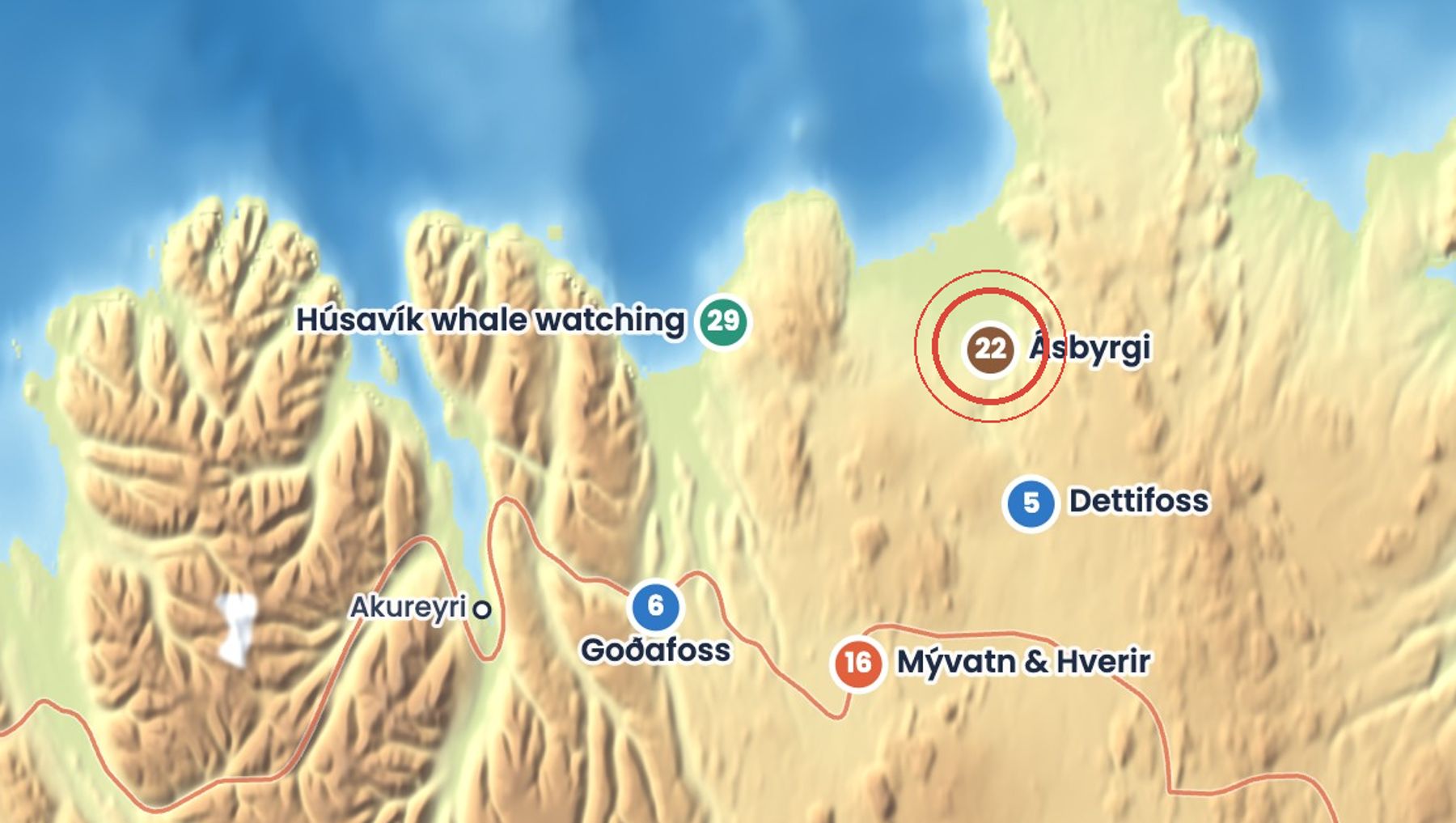
Ásbyrgi is a horseshoe-shaped canyon about 3.5 km long and over 1 km wide, with sheer cliffs up to 100 m high. Catastrophic glacial floods carved it, but legend says it is the hoofprint of Sleipnir, Odin's eight-legged horse.
Inside it is sheltered and green, with birch woodland and the small pond Botnstjörn at the far end. A rock ridge called Eyjan, the island, runs down the middle, and you can walk along the top of it.
Getting there
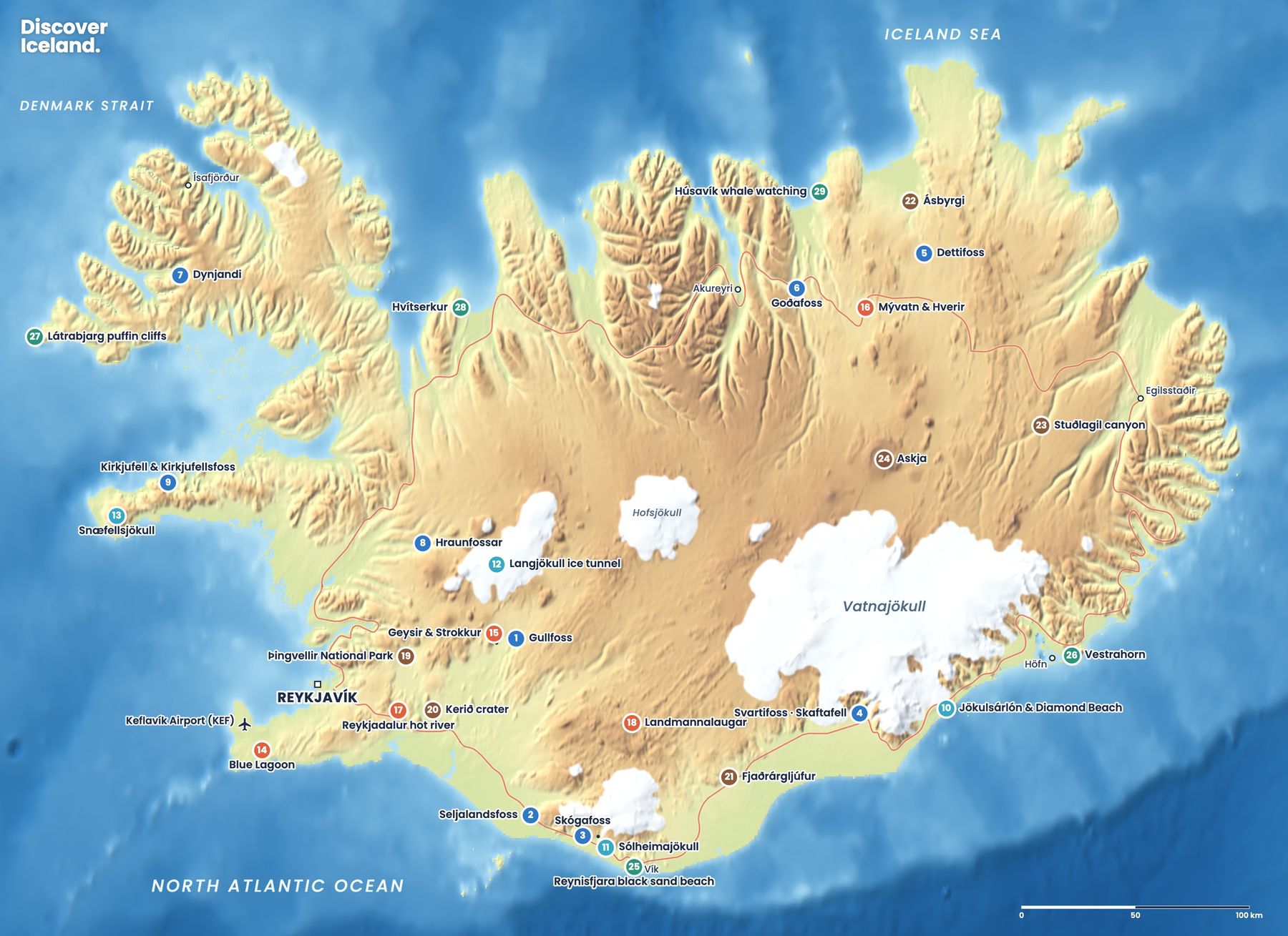
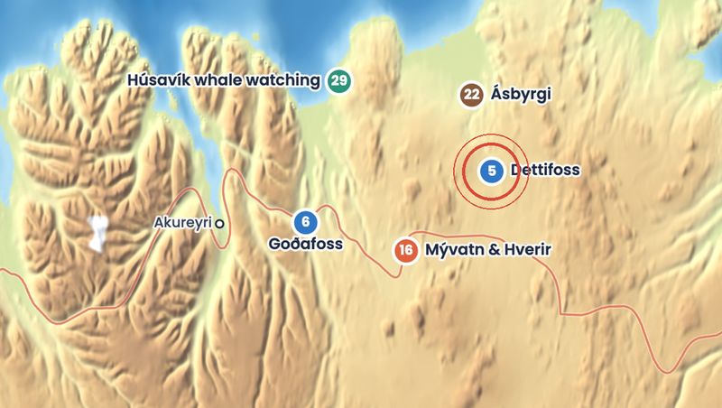
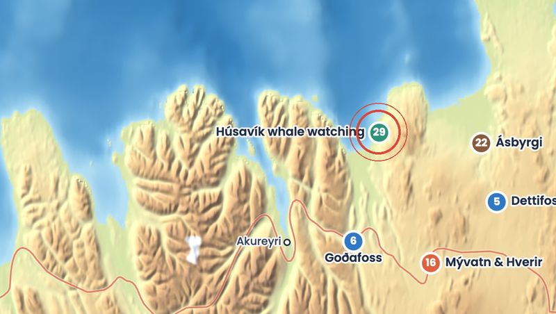
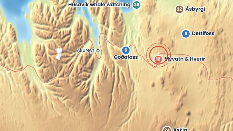
Ásbyrgi lies just off road 85 in Kelduhverfi, east of Húsavík. Road 862 links it to Dettifoss. The Gljúfrastofa visitor centre, a shop and a large campsite are at the canyon entrance, and a road leads further in to the car park for Botnstjörn.
When to go
Best from late May to September, when the campsite is open and the woods are green. You can visit all year on paved roads, but winter brings short days and icy paths. Gljúfrastofa has shorter opening hours in winter.
Good to know
- Take the easy 1 km walk to Botnstjörn, suitable for limited mobility.
- Walk out along Eyjan for views down into the canyon, keeping back from the cliff edge.
- Pair it with Dettifoss on road 862 for a full day.
- Fill up with fuel before you leave Húsavík.
Sources: Ásbyrgi, Vatnajökull National Park, Jökulsárgljúfur, Vatnajökull National Park, Ásbyrgi, Wikipedia, Visiting Ásbyrgi by car, Höldur. Facts checked October 2026.
Drive times are approximate and depend on weather and road conditions. Check road.is and vedur.is before you set off.