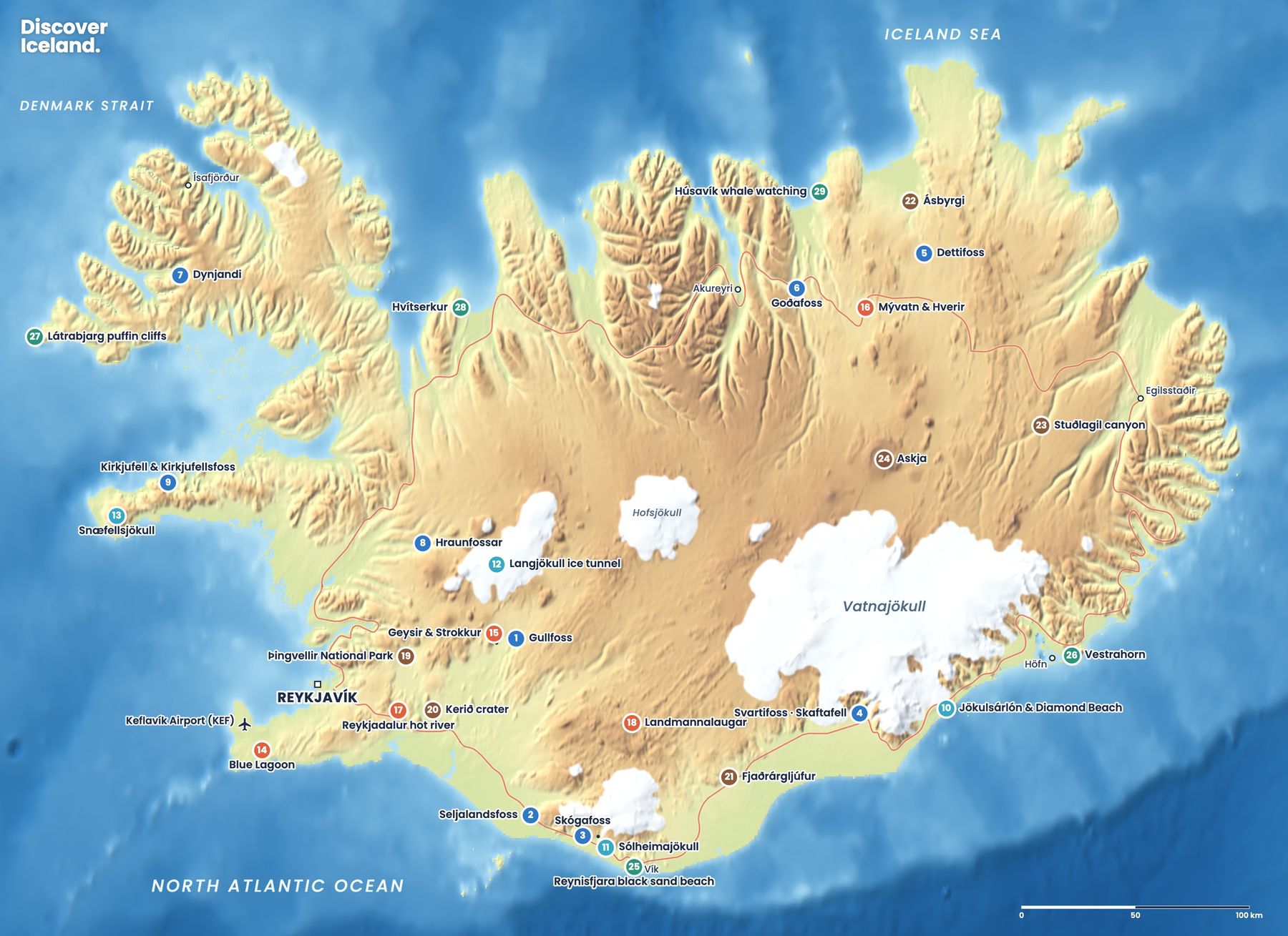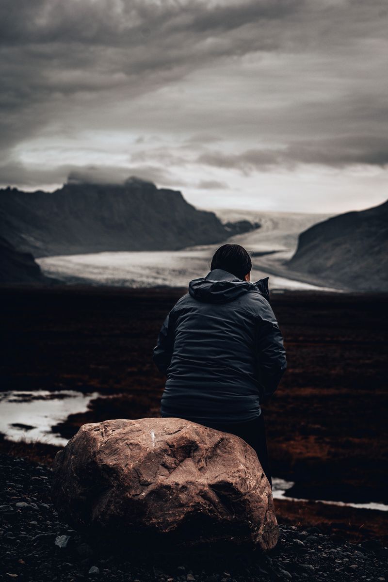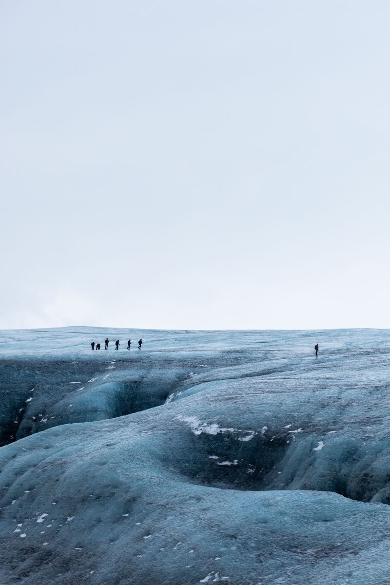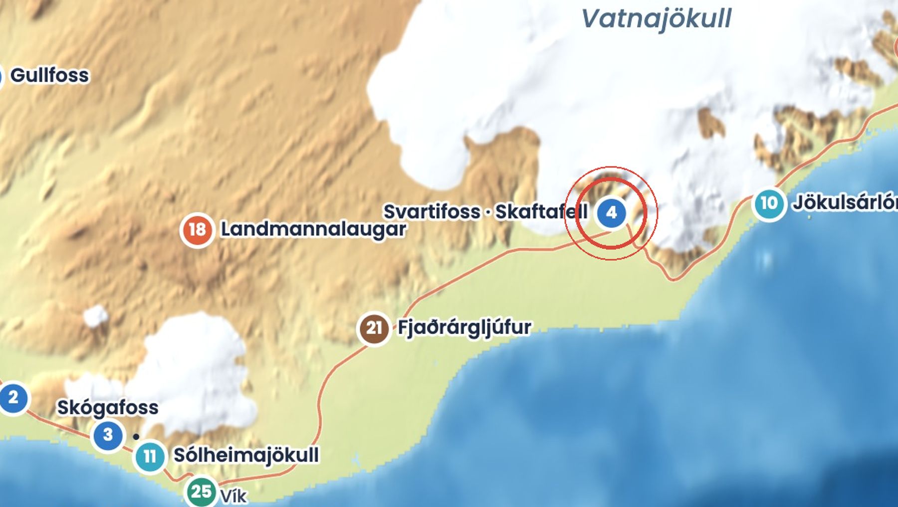
Svartifoss, the 'black falls', drops about 20 metres over a cliff of dark, six-sided basalt columns that hang like organ pipes. It is the best-known walk in Skaftafell, part of Vatnajökull National Park.
The trail climbs gently through birch woods and past two smaller waterfalls, Hundafoss and Magnúsarfoss. You can extend the walk to the old turf farm at Sel or to viewpoints over the glaciers.
Getting there
Park at the Skaftafell visitor centre, signposted off Route 1, where the national park charges a parking fee. The trail starts in front of the visitor centre, climbs about 1.9 km to the falls and takes roughly 45 minutes each way.
When to go
All year. Summer has the easiest walking and the longest days. In winter the path can be icy, so ask at the visitor centre about conditions and bring spikes.
Good to know
- The 5.8 km S2 loop via Sjónarsker and Sel takes about 2 hours and adds glacier views.
- Stay on the path at the bottom of the falls; the rocks are slippery.
- Spring and early summer are nesting season, so keep to the trail.
Sources: Svartifoss – Sjónarsker – Sel (S2) (Vatnajökull National Park), Svartifoss – Sjónarnípa (S6) (Vatnajökull National Park), Svartifoss waterfall (Visit South Iceland), Svartifoss (Wikipedia). Facts checked October 2026.
Drive times are approximate and depend on weather and road conditions. Check road.is and vedur.is before you set off.