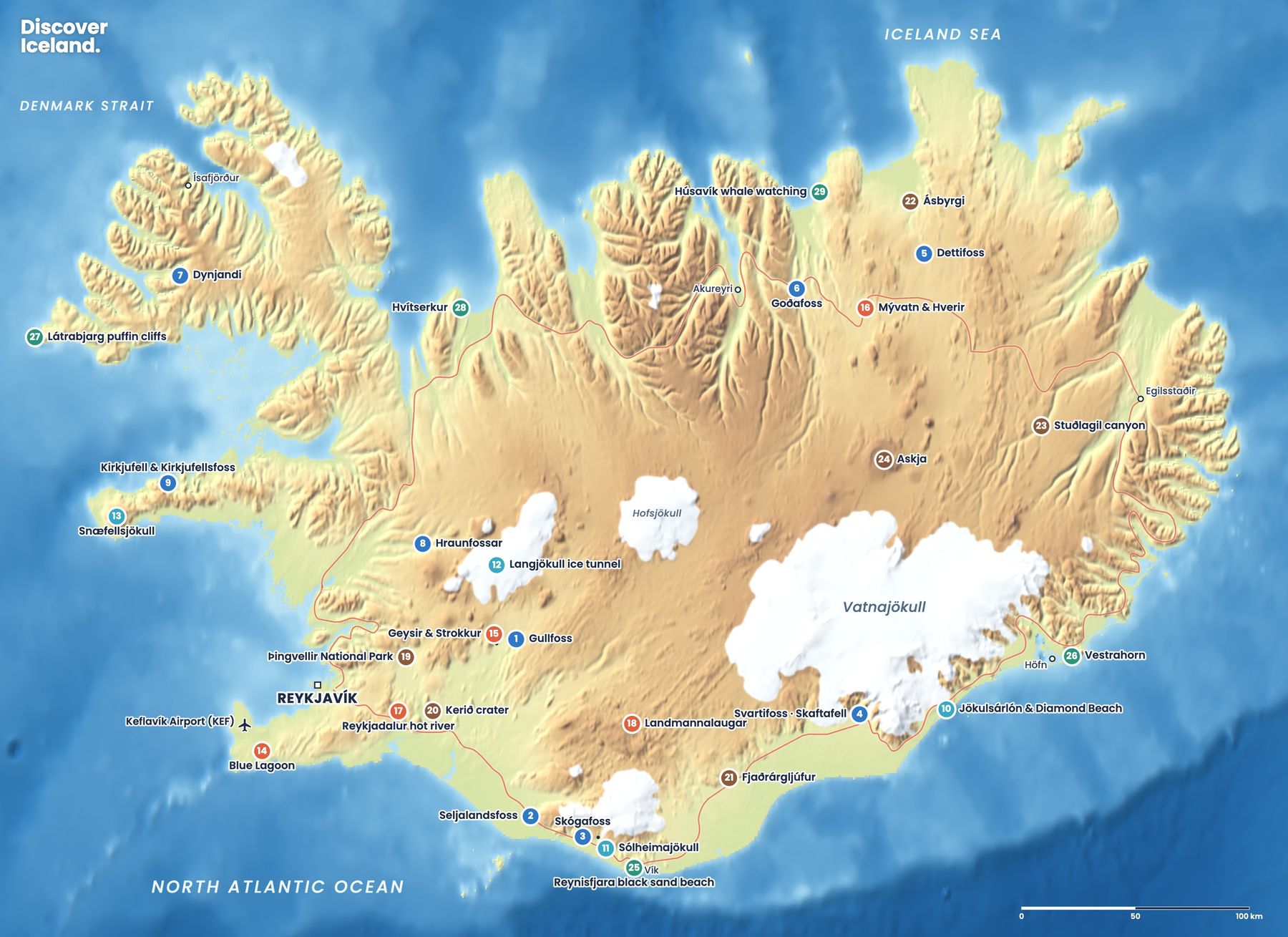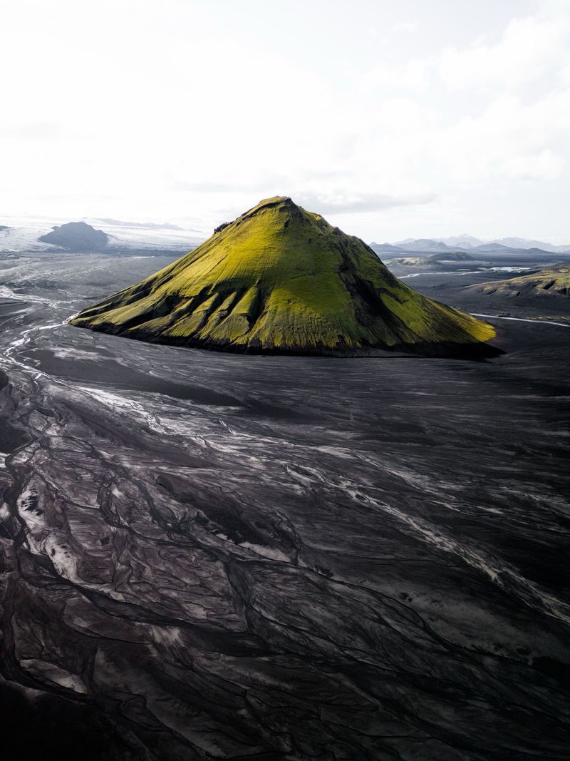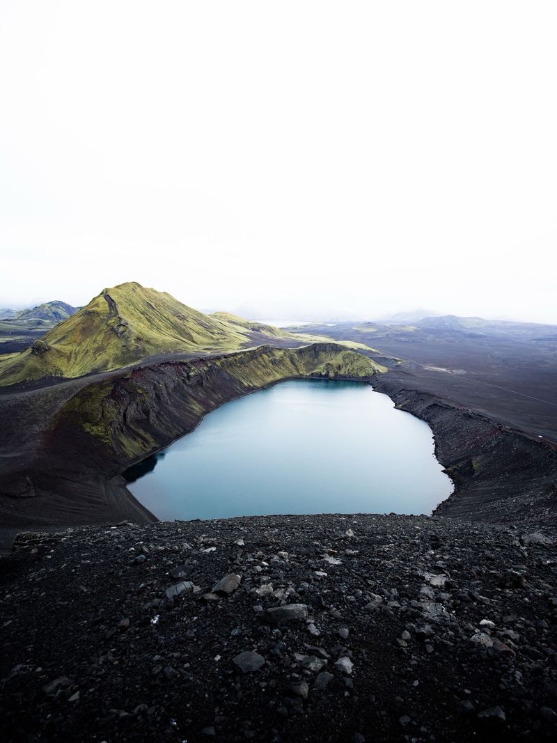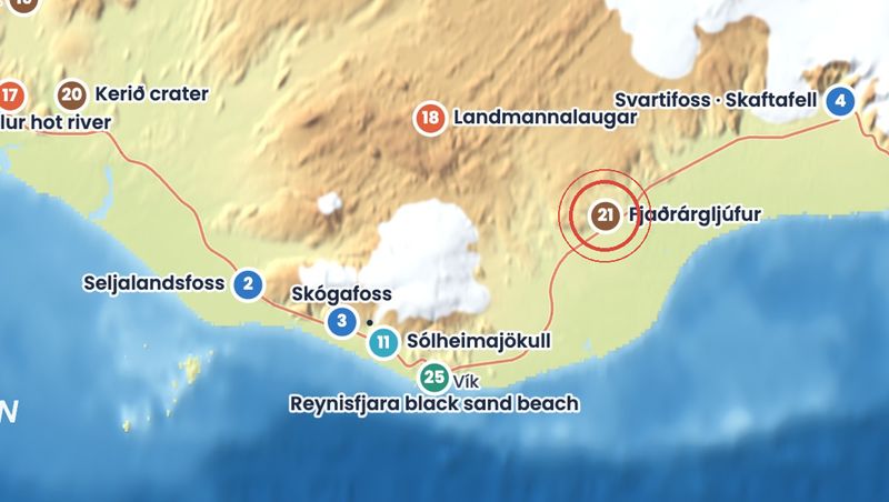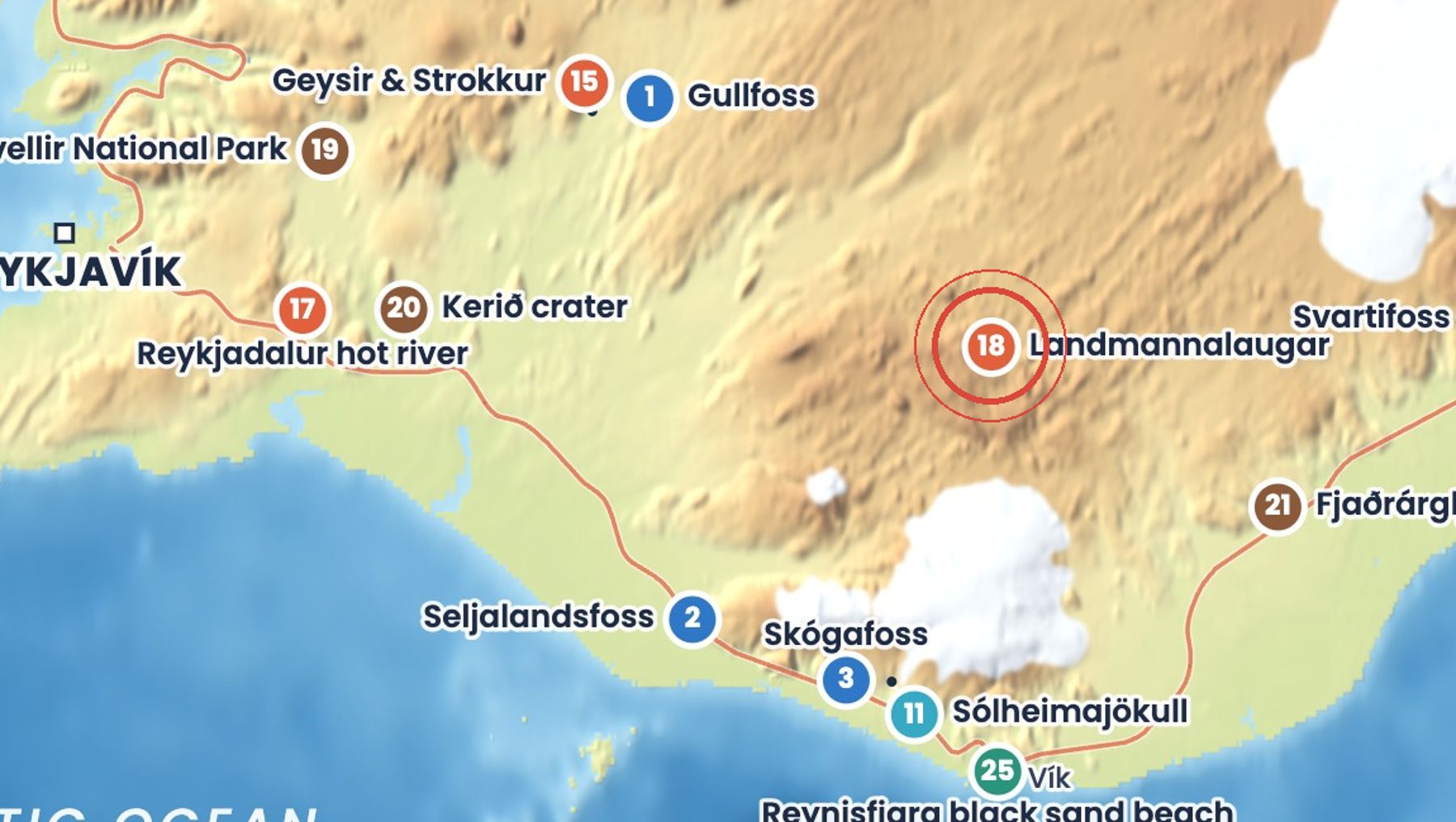
Landmannalaugar is a highland valley in the Fjallabak Nature Reserve, surrounded by mountains streaked red, yellow, green and blue. It sits at the edge of Laugahraun, a lava field from an eruption around 1477.
A warm natural pool near the hut is free to bathe in. Day hikes lead up Bláhnúkur and Brennisteinsalda, and it is the start of the multi-day Laugavegur trek to Þórsmörk.
Getting there
Take Route 1 and Route 26, then F208 north via Sigalda, the easiest route. You need a 4x4, and the last stretch has two fords; smaller SUVs should use the P1 car park before them. From late June to mid-September (20 June to 13 September in 2026) cars arriving between 9:00 and 16:00 must book parking in advance at parka.is, and every vehicle pays a service fee. Highland buses run from Reykjavík in summer.
When to go
The F-roads open only in summer, depending on snow: F208 from Sigalda has opened on average around early June, and the area is usually reachable until September. Check umferdin.is before you set out.
Good to know
- Book parking, the hut or the campsite early; spaces sell out in peak season.
- Fill up with fuel before leaving the Ring Road; there are no petrol stations.
- Never drive off marked roads, and do not cross rivers you are unsure about.
- Weather changes fast: bring warm, waterproof layers even in July.
Sources: Landmannalaugar FAQ (Environment Agency of Iceland), Landmannalaugar parking (Parka), When do mountain roads open? (Icelandic Road Administration), Landmannalaugar (Wikipedia). Facts checked October 2026.
Drive times are approximate and depend on weather and road conditions. Check road.is and vedur.is before you set off.