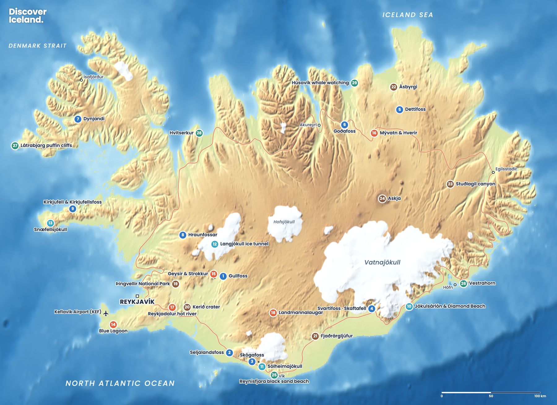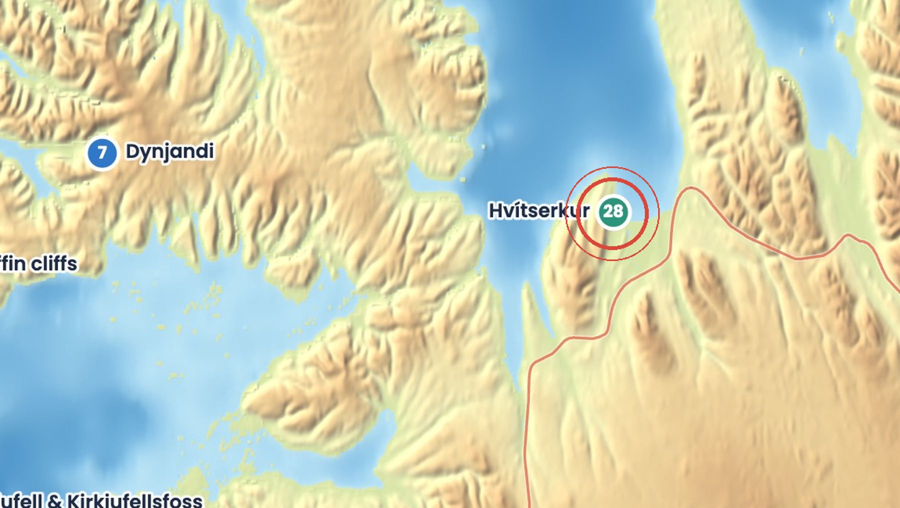
Hvítserkur is a basalt sea stack about 15 m high, standing in the shallows off the eastern shore of the Vatnsnes peninsula. Two holes at its base make it look like a dragon or a beast drinking from the sea.
Local legend says it is a troll who tried to wreck the convent at Þingeyrar and was turned to stone by the rising sun. Seabirds nest on it in summer, and seals often rest on the nearby sandbanks.
Getting there
Leave Route 1 for the Vatnsnes peninsula and follow road 711, a gravel road that loops around it. A car park sits on the cliff above the beach with a viewing platform. A steep path leads down to the sand. Toilets and snacks are at the Ósar hostel nearby.
When to go
Best from May to September, when road 711 is in fair condition and birds nest on the rock. In winter the gravel road can be icy or blocked by snow. Low tide lets you walk closer on the beach.
Good to know
- Drive slowly on road 711: it is narrow, dusty and potholed in places.
- Check tide times before walking out on the beach, and keep clear of incoming water.
- Keep to the paths above the beach to avoid trampling nesting sites.
- Look for seals on the sandbanks, but keep your distance.
Sources: Hvítserkur, Wikipedia, Hvítserkur, North Iceland, Hvítserkur, Full Suitcase. Facts checked October 2026.
Drive times are approximate and depend on weather and road conditions. Check road.is and vedur.is before you set off.